
Severe thunderstorm watch hits Kansas City with 80 mph gusts
Key takeaways
- A severe thunderstorm watch covered Kansas City on Tuesday evening, Oct. 13.
- Warnings followed for metro counties, with gusts to 60 mph and small hail.
- A tornado warning for Clay County was radar-indicated. No tornado was confirmed.
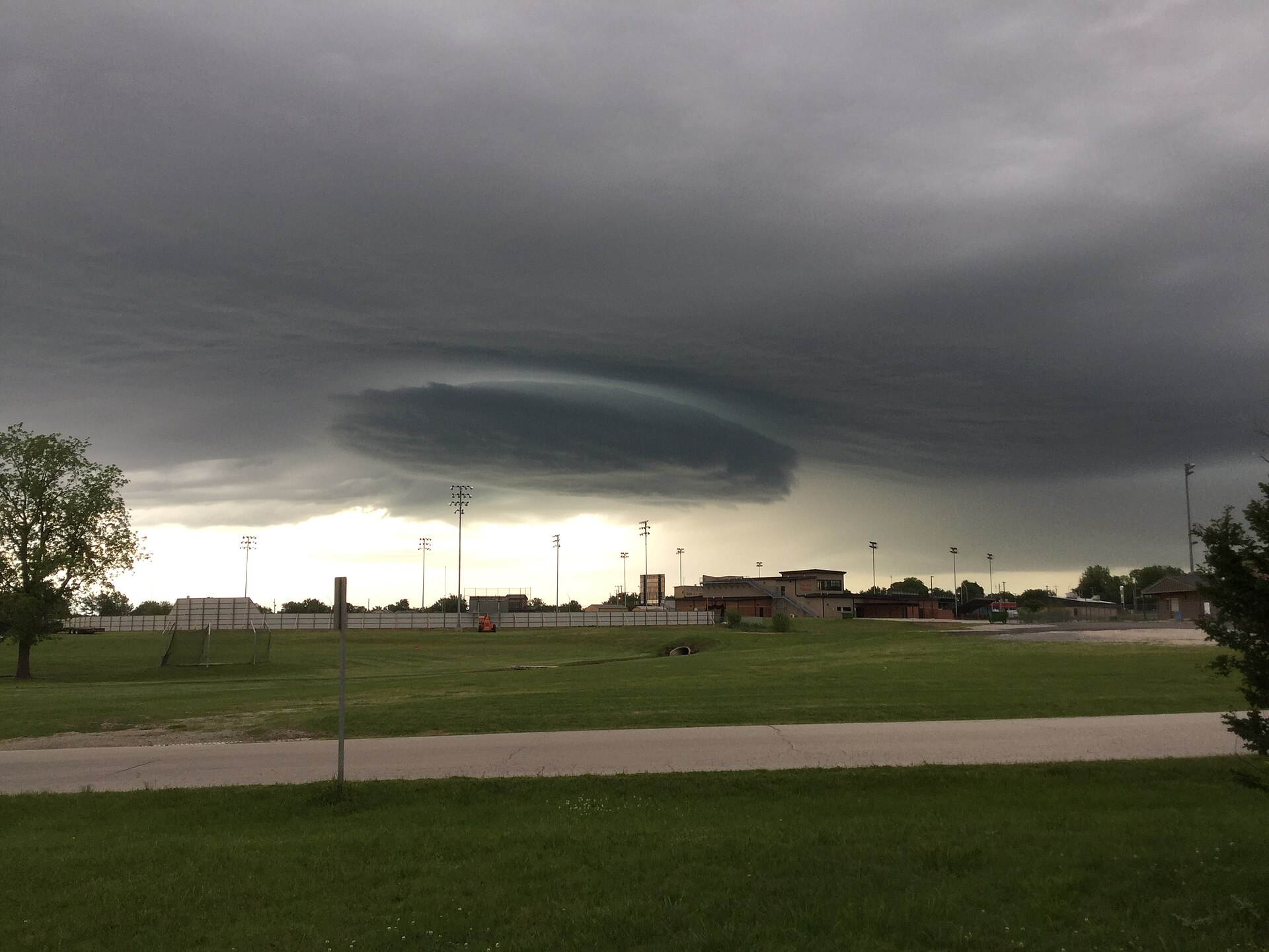
A severe thunderstorm watch covered the Kansas City area on Tuesday evening It ran from 4 PM to 11 PM Central time Storms then brought warnings, strong winds, and a tornado scare.
Here is what each alert meant, and what to do at home.
Watch vs warning: know the difference
A watch means get ready. A warning means act now. That is the short rule from the American Red Cross.
A severe thunderstorm watch means conditions can produce severe storms It does not mean a storm is hitting you now It means stay alert and check updates.
A watch often lasts four to eight hours.
A severe thunderstorm warning means a severe storm is happening or near Radar or spotters have seen it You should take cover at once.
A warning often lasts about one hour.
A severe storm has hail at least one inch wide Or it has winds of at least 58 mph One inch is about the size of a quarter.
These storms can knock down trees and power lines.
A tornado watch works the same way It means conditions can produce a tornado A tornado warning means a tornado is a direct threat.
Radar may show it, or spotters may see it A tornado warning often lasts about 30 minutes.
What happened
The Storm Prediction Center issued Severe Thunderstorm Watch 682 at 4 PM It covered southern and eastern Kansas It also covered west-central and northwest Missouri.
The watch ran from 4 PM to 11 PM Central time.
The main threats were strong winds and large hail Forecasters warned of gusts up to 80 mph They warned of hail up to 2.5 inches wide.
They said a tornado or two was possible.
Storms grew along a cold front that evening The National Weather Service then issued a string of warnings One warning came at 8:34 PM Central time.
It covered Ray County and nearby counties in Missouri It ran until 9:15 PM It warned of 60 mph gusts and small hail.
A later warning came at 9:12 PM Central time It covered the heart of the metro The list included Johnson and Wyandotte counties in Kansas.
It included southern Clay, Jackson, and southeast Platte counties in Missouri It ran until 10 PM It warned of 60 mph gusts.
The warned cities included Kansas City, Overland Park, and Olathe They also included Independence, Lee's Summit, and Shawnee Blue Springs, Lenexa, Leawood, and Raytown were on the list too.
Liberty, Gladstone, Grandview, and Prairie Village were named as well.
The Weather Service said the storms could damage roofs, siding, and trees. It told people to seek shelter inside a strong building. It told people to stay away from windows.
A tornado warning also went out for Clay County It was issued at 7:27 PM Central time on Tuesday Radar showed signs of rotation in the storm.
No tornado was confirmed on the ground The warning expired at 8 PM Central time.
Wind reports from that storm were strong The peak gust hit 83 mph Eleven wind reports came in from the warned area.
Those numbers come from storm reports tied to the warning.
Why it matters
Wind was the main threat that night A 60 mph gust can snap tree limbs It can drop power lines.
It can tear shingles from a roof An 83 mph gust can do far more harm.
Hail was the second threat Hail up to 2.5 inches wide can dent cars It can crack windows.
It can punch holes in weak roofs Even small hail can hurt if you stay outside.
Power outages were part of the night too Early Wednesday, one outage tracker still listed active outages It showed 27 active outages for the Kansas City Board of Public Utilities.
Fifteen customers were still without power in Wyandotte County That count was taken at 2:13 AM Central time.
Heavy rain can flood low roads fast Water can rise before you see it Never walk, swim, or drive through floodwater.
Learn how floodwater can rise fast before the next storm.

What to do at home
When thunder roars, go indoors That is the rule from the National Weather Service Do not wait for rain to start.
Lightning can strike before the rain arrives.
Go inside a strong building with walls and a base Move to a basement if you have one If not, use a small room on the lowest floor.
Pick a room with no windows Stay away from glass doors and windows.
Stay inside for 30 minutes after the last thunder. Do not rush back outside. Lightning can still strike after the storm looks past.
Inside, avoid devices plugged into wall outlets Avoid running water Lightning can travel through wires and pipes.
Do not take a shower during a storm Do not wash dishes during a storm.
If a warning wakes you at night, act fast Grab your phone and a flashlight Move to your safe room.
Keep shoes by your bed Keep a battery radio near your safe room.
If you are outside, move toward shelter at once Do not hide under a tree Trees draw lightning.
Branches can also fall in high wind Sheds and gazebos do not protect you A car is safer than open ground, but a strong building is best.
If you drive, pull off the road in a safe spot Park away from trees and power lines Turn on your hazard lights.
Wait for the heavy rain to pass.
After the storm, watch for fallen power lines Stay far away from them Assume any downed line is live.
Report it to your power company at once.
Expect power outages during strong storms Use battery lights and flashlights, not candles Candles can start a fire.
Run generators, grills, and camp stoves outside only Keep them far from windows That stops carbon monoxide from building up inside.
If your home can flood, plan ahead A sump pump with battery backup can help when the power fails Keep drains, gutters, and downspouts clean.
Tie down loose items outside when a watch is issued.
What happens next
The watch expired at 11 PM Central time on Tuesday More rain stayed in the forecast for Wednesday The forecast listed early morning thunderstorms.
Then it listed showers through the day.
Check fresh alerts before you head out Alerts can change fast Keep your phone charged.
Keep a battery radio close by Sign up for free emergency alerts from your local government.
If you lost power, check your power company's outage map Do not touch downed lines Do not drive through flooded streets.
Wait for crews to clear the roads.
Storm season brings more watches and warnings Know the words now Watch means get ready.
Warning means act now That small habit can keep your home safe.
Related stories
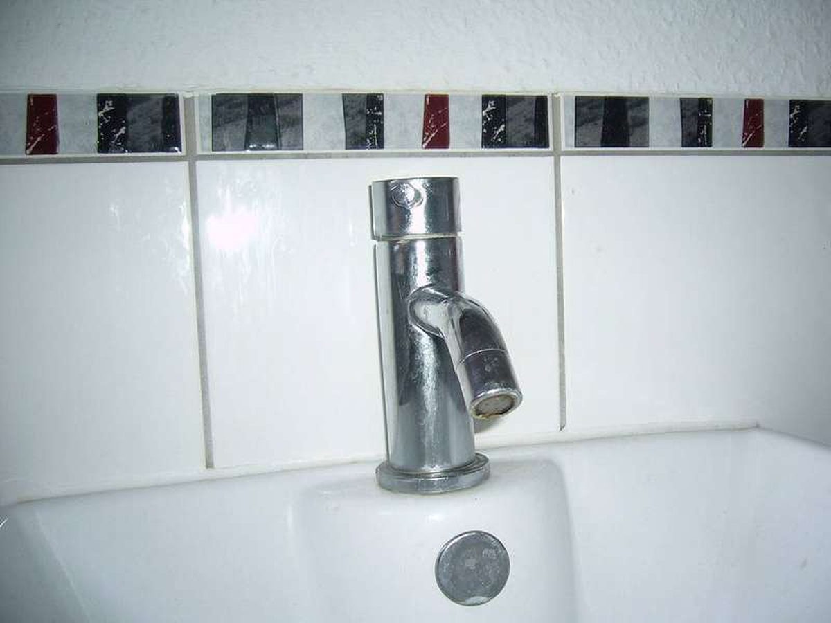
Why Your Faucet Keeps Dripping After You Turn It Off
A dripping faucet is usually a worn washer, O-ring, or cartridge that can no longer seal. One drip per second wastes over 3,000 gallons
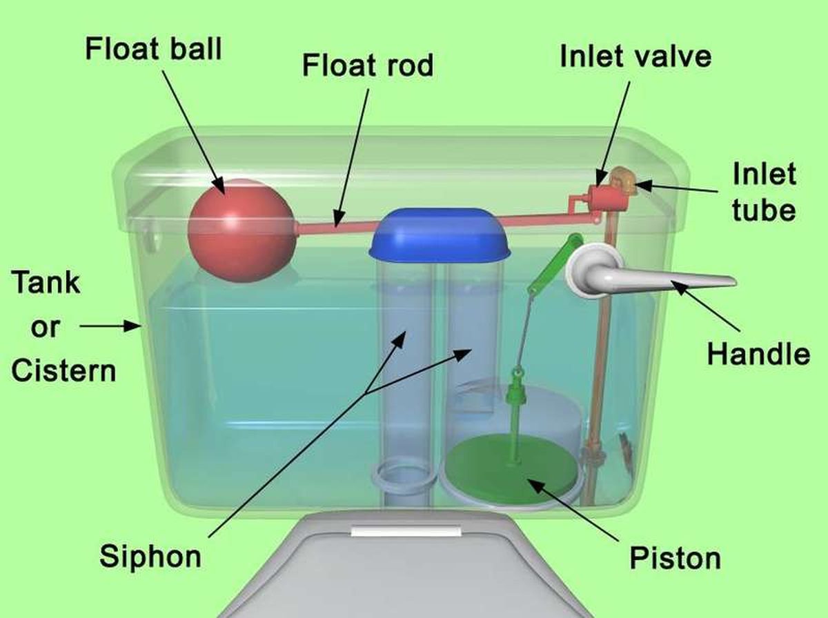
How to fix a running toilet without a plumber in 30 minutes
A running toilet can waste 200 gallons of water a day. Diagnose the flapper, float, or fill valve in two minutes, then fix it yourself

How to hang heavy shelves on drywall safely
Studs first, toggle bolts second, plastic anchors never for heavy loads. Weight ratings, installation steps, and mistakes that bring