
South-east Queensland storm warning: records fall as wild week rolls on
Web StoryWatch this story in 15 seconds →Key takeaways
- Severe thunderstorm warnings stayed in place across south-east Queensland on Tuesday, 27 October 2026.
- Brisbane had about 170mm of rain for October by Monday evening, close to its 2020 mark of 183mm.
- Flood warnings covered many Queensland rivers, and people were told to check the latest warnings before travel.
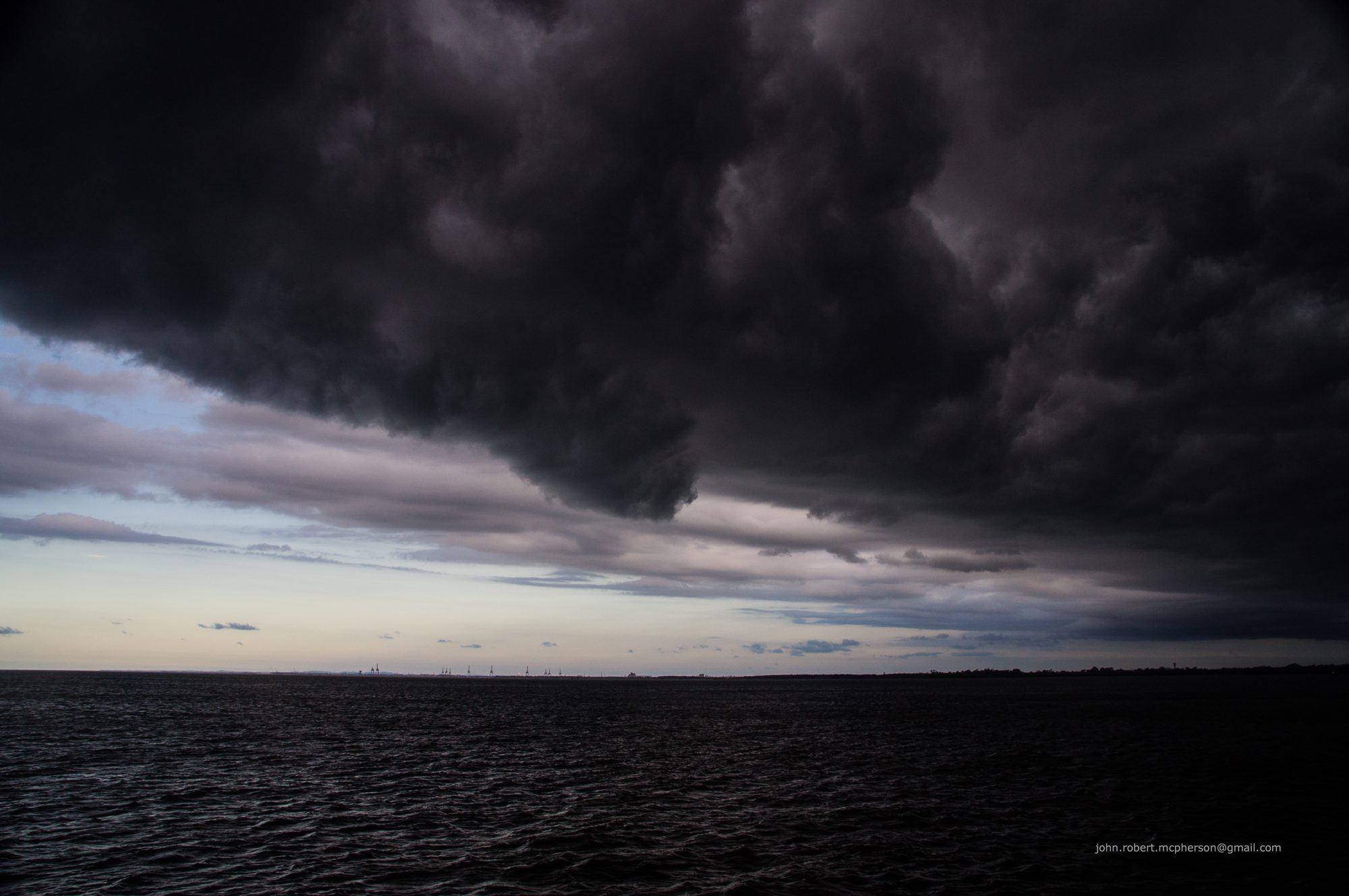
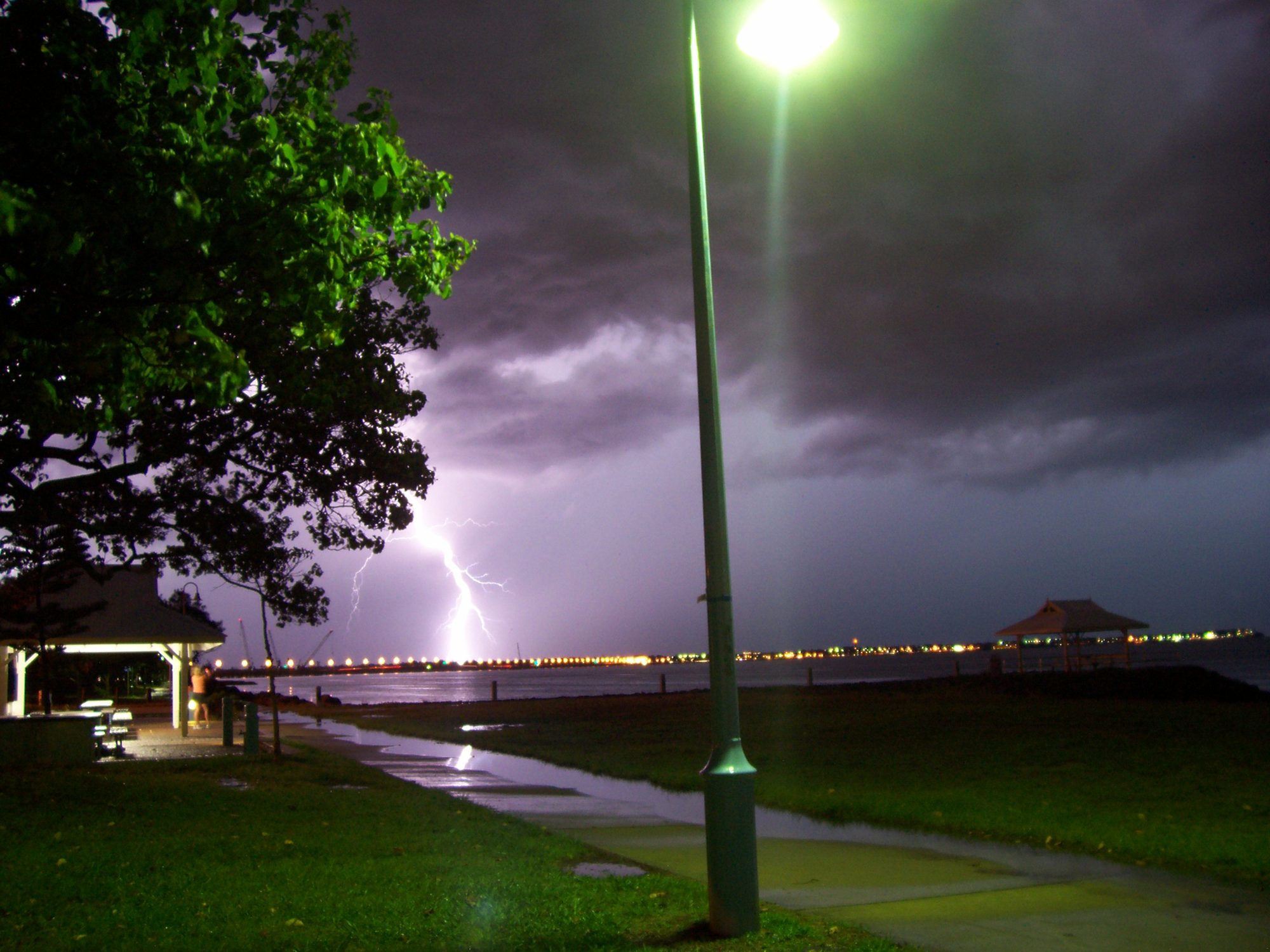
South-east Queensland is living through a wild, wet week. Severe thunderstorms kept rolling across the region on Tuesday, 27 October 2026. The storms brought a risk of giant hail, damaging winds, and heavy rain.
They came after days of downpours that pushed some places close to October rainfall records.
What happened
The Bureau of Meteorology issued warning after warning on Tuesday afternoon. At 3:46 pm, it warned of a very dangerous thunderstorm near Greenbank and Jimboomba. The warning covered Logan and parts of Ipswich, Gold Coast, Brisbane City, and Scenic Rim areas.
It warned of giant hail, destructive winds, and heavy rain.
Earlier, at 2:29 pm, the bureau warned of a very dangerous storm moving towards the Gold Coast. That warning covered Gympie, Somerset, Gold Coast, Sunshine Coast, Noosa, Brisbane City, and Moreton Bay areas. At 5:35 pm, severe storms were still persisting across the south-east.
That warning covered Wide Bay and Burnett and the Southeast Coast districts. It warned of large hail, damaging winds, and heavy rain.
The Tuesday storms were the latest round in a week of wet weather. On Monday, the bureau said severe storms were possible across south-east and central Queensland. It also said severe storms were possible across north-east New South Wales.
The storms could bring heavy rain, flash flooding, damaging winds, and large hail.
A Monday afternoon downpour in Brisbane showed how fast the rain could fall. It lasted only 15 minutes, according to ABC News. It still dumped 11mm on the Brisbane central business district before 3 pm.
Sunshine returned soon after the downpour ended.
Why it matters
The rain totals explain why so many people are searching for storm warnings. Brisbane gets about 87mm of rain in an average October. By 6 pm on Monday, about 170mm had fallen for the month.
That is close to the 183mm recorded in October 2020. It is also above the 159mm recorded in October 2021.
Brisbane and the Gold Coast were on track for their wettest October in six years. That is what ABC News reported on Tuesday. The Gold Coast had even higher totals in some parts.
Burleigh Waters recorded 186mm over the past week. Springbrook, in the Gold Coast hinterland, received 355mm since 20 October.
The Sunshine Coast numbers were just as striking. Sunshine Coast Airport recorded 369mm for the month. That total would beat the record set in October 2017.
The record covers 32 years of month-to-month rainfall data. Meteorologist Harry Clark called the October falls quite exceptional. He said October is a changeover season in the south-east.
The drier months are July, August, and September. The heaviest rain normally falls in February and March. So this much October rain is unusual.
The week as a whole was wet across a wide area. The bureau weekly update on 27 October gave the highest weekly gauge total as 393mm. That total was recorded at Lower Springbrook Alert in Queensland.
The highest daily total was 212mm at Brooweena in Queensland. That rain fell in the 24 hours to 9 am on 25 October. Totals above 200mm were recorded in Wide Bay and Burnett districts.
Totals above 200mm were also recorded in south-east coast districts. Most of Queensland recorded 10mm to 100mm for the week.
The wet ground made flooding more likely. The bureau said the ground was sodden on Monday. That means the soil was already full of water.
So rivers, creeks, and drains rose fast with each new downpour. Major flood warnings were in place for the Upper Condamine River. Major flood warnings were also in place for Warrill Creek and Laidley Creek.
Moderate flood warnings covered the Mary River. That warning affected communities such as Tara and Maryborough. A moderate flood warning also covered the Weir River near the New South Wales border.
Minor flood warnings covered the Moonie River and parts of outback Queensland.
The Lockyer Valley felt the flood risk up close. A Watch and Act warning was issued on Sunday for Laidley and Glenore Grove. Flash flooding in Laidley Creek forced several road closures.
Laidley Creek broke its banks at Thornton and Mulgowie. Low-lying roads near Glenore Grove were cut off by the creek. A Lockyer Valley Regional Council spokesperson said the threat seemed to have passed for now.
The spokesperson said about 400mm had fallen over the past week. That rain fell at the head of the creek in the Mt Castle area. The spokesperson said the last similar event was the 2013 flood event.
Conditions would keep easing if no more storms fed that catchment.
Caboolture and Morayfield also faced flash floods. Caboolture recorded about 400mm of rain. Morayfield recorded 404mm.
These totals show why roads and low areas stayed at risk. When rain falls this fast, water can rise before people expect it. That is why warnings matter even after the rain seems to stop.
What happens next
The forecast kept changing through the week, so people should check the latest warnings. Bureau senior meteorologist Felim Hanniffy gave the Monday outlook. He said storms were forecast across Brisbane, Gold Coast, and Sunshine Coast.
He said one round was due in the morning rush. He said a second round was possible in the afternoon and early evening. He said wind gusts of up to 90 kilometres an hour were possible.
He said severe storms were likely across the Lockyer Valley, Scenic Rim, and South Burnett on Monday.
Hanniffy also said the storm risk was driven by a stagnant humid air mass. That air mass had sat over the region for more than a week. Warm, moist air feeds thunderstorms.
When it stays in place, storms can form day after day. That pattern explains the repeated rounds of storms.
On Monday, the bureau said storms would contract towards the north from Tuesday. That means the storm area would shrink northward. Storms would still affect the Sunshine Coast hinterland, Wide Bay, and Capricornia.
Storms would also persist across western parts of Queensland. Severe storms would also spread across central Australia. Alice Springs faced a risk of damaging winds.
But Tuesday afternoon still brought very dangerous storms to the south-east. That shows why a forecast can shift during the day. The bureau kept updating its warnings through the afternoon.
People in warning areas should check the bureau website and app. They should check before they travel, and again before they head home.
Brisbane was forecast to get a shower or two on Tuesday and Wednesday. The top temperature was forecast at 29 degrees Celsius. Conditions were expected to cool down by the weekend.
The bureau also said more showers and storms could push east later in the week. Another round was possible across the east coast by Friday and the weekend. That part of the forecast still had days to play out.
If you live in a warning area, keep it simple. Stay indoors during a severe storm if you can. Move cars away from trees where it is safe to do so.
Keep phones charged so you can get new warnings. Never drive through floodwater, even if the road looks passable. Water depth is hard to judge from a car seat.
A flooded road can hide damage under the surface.
The wild week is not over yet. Rain records are close, rivers are high, and storms are still forming. The safest move is to check the latest bureau warning before you make plans.
This story will keep changing as new warnings arrive. For now, the south-east is watching the sky, and waiting for the rain to ease.
Read more on staying safe at home in wild weather: flood evacuations in Archuleta County, wind power outages in Alberta, and how to drive safely in heavy rain.
Related stories
Why Your Faucet Keeps Dripping After You Turn It Off
A dripping faucet is usually a worn washer, O-ring, or cartridge that can no longer seal. One drip per second wastes over 3,000 gallons

How to fix a running toilet without a plumber in 30 minutes
A running toilet can waste 200 gallons of water a day. Diagnose the flapper, float, or fill valve in two minutes, then fix it yourself

How to hang heavy shelves on drywall safely
Studs first, toggle bolts second, plastic anchors never for heavy loads. Weight ratings, installation steps, and mistakes that bring