
Why Long Flights Sometimes Go Over the North Pole
Key takeaways
- On a sphere, the shortest path between two points is a great-circle arc, which is why New York-Tokyo flights arc over the Arctic instead of crossing the Pacific directly.
- Flat Mercator maps exaggerate polar distances, making the efficient northern route look like a strange detour.
- Winds, ETOPS diversion rules, and airspace politics can push flights off the perfect great circle, so polar routing varies by day and direction.
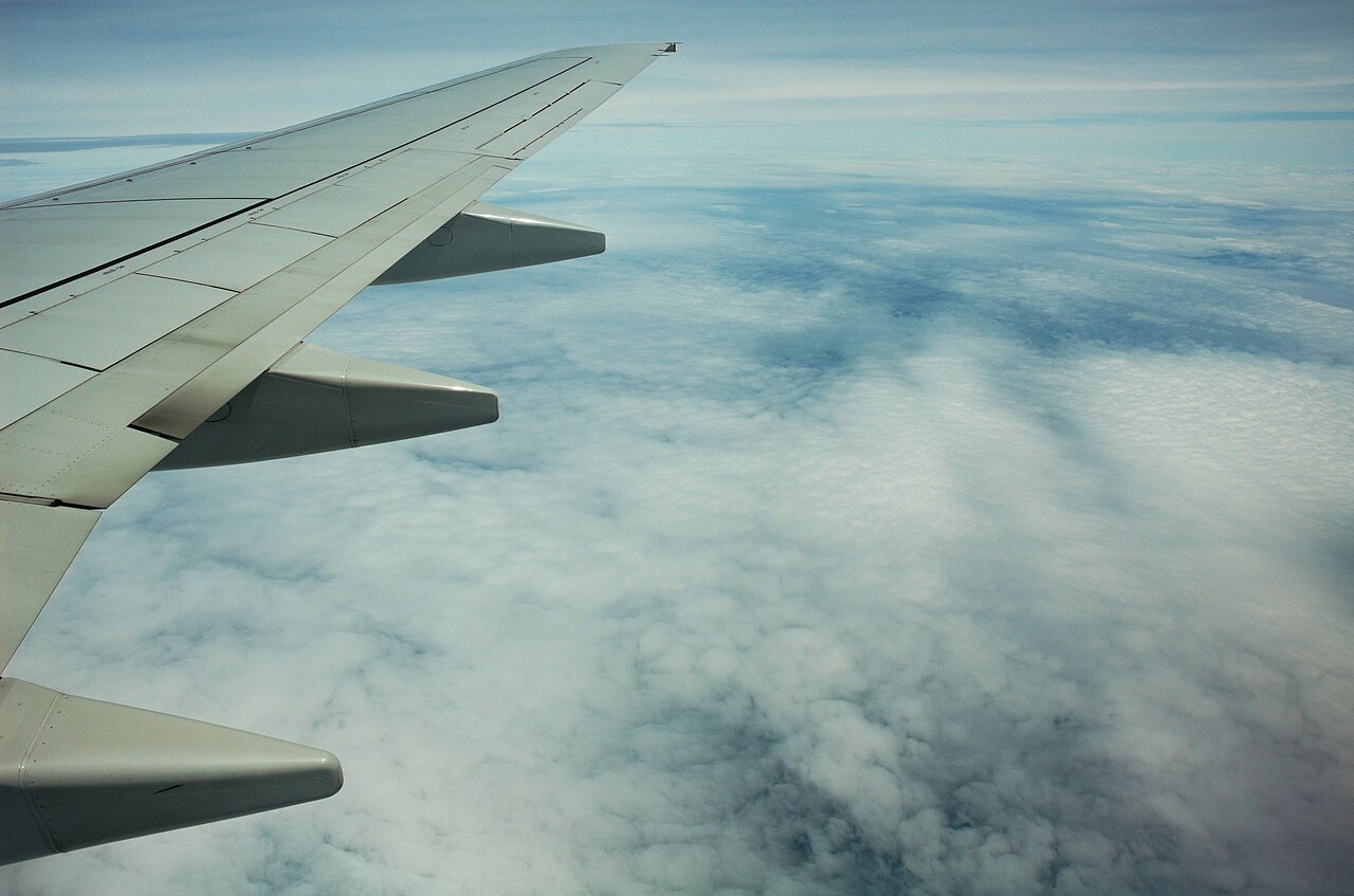
The view from a jetliner window at cruise. Long-haul routes that look curved on a flat map are following the shortest path on a sphere.
Image Credits: Wikimedia Commons
Watch the route map on a flight from New York to Tokyo and something looks wrong. Instead of heading west across the Pacific, the plane climbs north over Canada, skirts Greenland, and crosses the Arctic before descending into Japan.
It looks like a detour of thousands of miles. It is actually the shortest possible path, and the illusion comes from the flat map you are looking at.
This article explains great-circle routes, why flat maps deceive us, and the winds, regulations, and politics that nudge real flights off the perfect arc.
The shortest path on a sphere is a curve
The Earth is a sphere, or more precisely an oblate spheroid. On a sphere, the shortest distance between two points is not a straight line as drawn on a flat map. It is an arc of a great circle, the largest circle that can be drawn on the sphere's surface, with its center coinciding with the Earth's center, as Curious Expeditions explains.
Stretch a rubber band between New York and Tokyo on a globe and it curves northward on its own. That curve is the great-circle route. Flying it minimizes the distance flown, which means less fuel burned, lower emissions, and faster arrival times.
For long-haul flights the savings are substantial, amounting to thousands of dollars per flight, Curious Expeditions notes.
The confusion comes from map projections. The Mercator projection, created by Flemish cartographer Gerardus Mercator in 1569, maps the globe onto a cylinder and unrolls it, increasingly distorting distances toward the poles, Simple Flying explains.
On a Mercator map, the great-circle arc between two cities looks like a dramatic northward bend, while the genuinely longer straight line on the map looks direct. The map lies; the globe does not.
What a polar route actually looks like
Take New York (JFK) to Tokyo. On a wall map, the direct-looking path stretches westward across the Pacific. The real great-circle route arcs sharply northward, passing over southern Greenland, Iceland, and northern Siberia before descending into Japan, according to Alibaba's aviation analysis.
That path can be thousands of miles shorter than a naive westward trajectory.
These are called polar routes: flight paths operating near or over the Earth's polar regions, GlobeAir explains. They are favored for efficiency on long-haul sectors between North America and Asia or between Europe and Oceania. One analysis cited by Alibaba notes that the great-circle distance for Singapore Airlines' New York services runs about 9,540 miles (15,350 km) near the North Pole, per Simple Flying's route data.
The history is instructive. In 1996, United Airlines launched the first scheduled nonstop flight from Chicago O'Hare to Hong Kong. Instead of flying south over the Pacific, the Boeing 747-400 followed a great-circle route passing within 200 nautical miles of the North Pole.
Flight time dropped from over 17 hours with a stopover to just under 14 hours, Alibaba reports. The Arctic corridor stopped being a novelty and became a calculated shortcut.
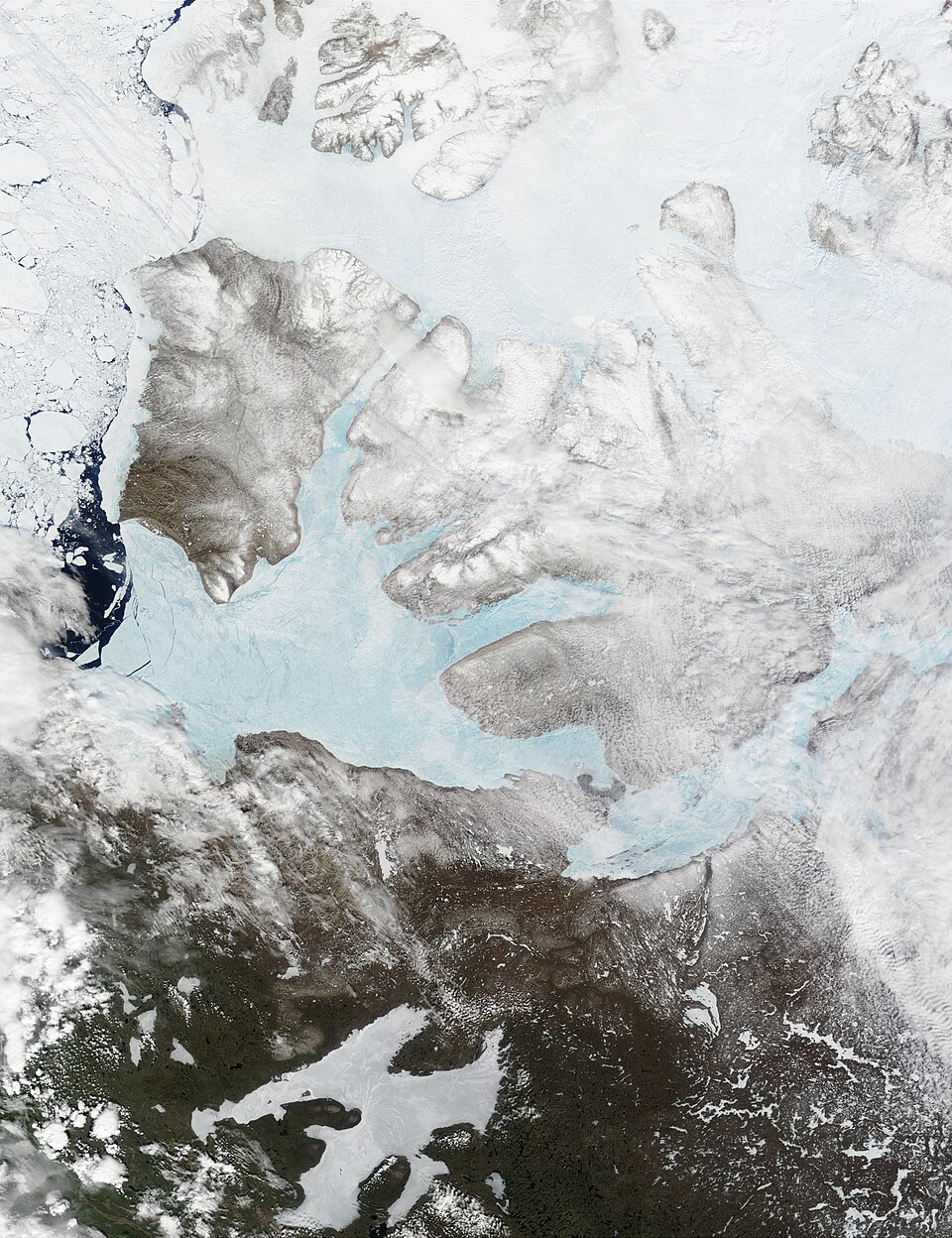
A satellite view of the high Arctic. Polar routes thread through this airspace to shave distance off intercontinental flights.
Image Credits: Wikimedia Commons
Why flights don't always follow the perfect arc
The great circle is the starting point for flight planning, not the final answer. Real routes bend around several practical constraints.
Winds come first. The jet stream, a high-altitude fast-flowing air current, typically flows from west to east. Eastbound flights often ride it while westbound flights dodge it, which is why the outbound and return legs of the same city pair can take visibly different paths, Curious Expeditions explains.
Simple Flying gives a concrete example: Singapore Airlines' US-bound flights often fly a longer ground distance over the Pacific to catch favorable jet streams, while return legs use the polar route across the Atlantic.
Regulations come second. Twin-engine aircraft, which make up most modern long-haul fleets, operate under ETOPS rules limiting how far they may fly from a suitable diversion airport.
Current ETOPS certification allows up to 330 minutes, or 5.5 hours, from the nearest suitable airport, Alibaba reports. Emergency landing sites such as Thule Air Base in Greenland and Iqaluit in Canada keep Arctic routings within those limits.
Politics and airspace restrictions come third. Air traffic control constraints, closed or expensive airspace, weather, and seasonal wind patterns can all force deviations from the theoretical ideal.
Some airlines avoid certain countries' airspace entirely, bending routes south or north of the great circle. More flights use polar routings in winter, when wind patterns are most favorable.
Modern navigation handles the polar environment itself without drama. Inertial navigation systems and GPS are largely unaffected by flying near the North Pole, where old magnetic compasses become unreliable, Curious Expeditions notes. The barriers that once made polar flying seem reckless, limited communication and few diversion airports, have largely been engineered away.
Frequently asked questions
Do planes actually fly directly over the North Pole?
Rarely directly over the pole itself, but routinely near it. Routes like Chicago-Hong Kong have passed within 200 nautical miles of the pole. Most "polar" flights arc through the high Arctic rather than crossing the exact geographic pole.
Why does the flight path look curved on the seatback map?
Because the map is flat and the Earth is not. The great-circle route is the shortest path on a sphere, but Mercator-style projections stretch polar regions, so the efficient arc looks like a bend and the longer straight line looks direct.
Is flying over the Arctic safe?
Yes. Modern aircraft navigate by GPS and inertial systems that work fine at high latitudes, ETOPS rules guarantee a diversion airport is within reach, and Arctic diversion fields like Thule and Iqaluit are part of flight planning.
Why is the return flight often a different route?
Winds. The jet stream flows west to east, so airlines chase tailwinds eastbound and avoid headwinds westbound. The two directions of the same city pair are planned as separate optimization problems.
Do polar routes save fuel?
Yes, when conditions allow. Shorter ground distance means less fuel burned, which also cuts emissions and operating costs. Airlines constantly weigh the great-circle ideal against winds and airspace costs.
The bottom line
Long flights head north because north is shorter. On a sphere, the great-circle arc beats any straight line drawn on a flat map, and the Mercator projection we all grew up with hides that fact by stretching the poles. Winds, diversion rules, and politics bend real routes off the ideal, but the principle never changes: the fastest way across the planet usually points at the Arctic.
Latest in Travel
- Why airport codes look nothing like city names and the history behind them.
- Pressure changes on the way down: why your ears pop on planes and how to stop it.
- Why passports come in different colours.
- Save money on the ground too: how to exchange money abroad without losing money to fees.
Subscribe to the Rive News newsletter for one practical travel explainer every morning.
Related stories

The 3-1-1 liquids rule for planes: what each number means
TSA's 3-1-1 rule limits carry-on liquids to 3.4-ounce containers in one quart bag. Where the 2006 rule came from, what counts, and how
Why Is Airplane Food So Bland at Altitude?
A 2010 Fraunhofer study found altitude cuts sweet and salty perception by up to 30 percent. Low humidity, cabin pressure, and noise all
Carry-on size limits: why airlines each set their own
Airlines set their own carry-on limits because the FAA only requires each carrier to have a policy, not one global size. Why 22 x 14 x