
Nor'easter floods Outer Banks coast: visitors leave, ferries stop
Web StoryWatch this story in 15 seconds →Key takeaways
- A nor'easter is flooding parts of North Carolina's Outer Banks. Water could rise 2 to 4 feet in the worst spots.
- Dare County ordered all visitors off Hatteras Island on Friday. Several ferries stopped running on Saturday.
- Strong winds, high waves, and flooding may last through Wednesday. High tide from noon to 4 pm brings the worst water.
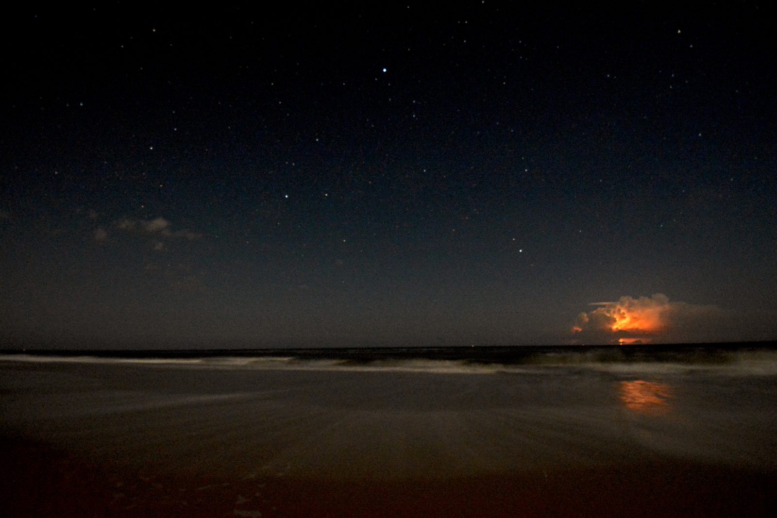
A strong coastal storm is flooding parts of North Carolina's Outer Banks. The storm is called a nor'easter.
It may bring days of high water, strong wind, and flooded roads.
Visitors were told to leave Hatteras Island. Ferries stopped running to nearby islands.
The worst water is expected at high tide each day.
What happened
A low pressure area formed off the Outer Banks this past weekend. A low pressure area is a spot where air rises fast.
It pulls in wind, rain, and ocean water.
The storm is called a nor'easter. Its winds blow from the northeast.
That is where the name comes from.
Forecasters say it is not as strong as the September storm. But it may last longer.
It could sit near the coast for much of the week, according to the Weather Channel.
The National Hurricane Center is watching the storm. The center gives it a 30 percent chance to gain some tropical traits.
The window is the next seven days. Forecasters still say it will most likely stay a coastal storm, according to FOX Weather.
Dare County declared a state of emergency on Friday. The order covered Hatteras Island.
The county told all visitors to leave. Residents were not told to leave, according to WRAL.
The order covered seven villages. They are Rodanthe, Waves, Salvo, Avon, Buxton, Frisco, and Hatteras Village.
On Saturday at noon, county officials warned that time was short. The window to leave safely was closing fast, they said.
They urged visitors who had not left to go at once.
Ferries stopped running on Saturday evening. The state shut four routes until further notice.
They are Cedar Island to Ocracoke and Currituck to Knotts Island. The other two are Southport to Fort Fisher and the Hatteras to Ocracoke vehicle ferry.
Two more routes also stopped. They are Cherry Branch to Minnesott Beach and Ocracoke to Swan Quarter.
They may restart in 12 to 24 hours, according to WRAL.
On Saturday, waves broke over a ferry. The water smashed a car windshield.
The car was on its way to Ocracoke Island.
Why it matters
Coastal flooding means ocean water pushes onto land. It covers roads, yards, and low homes.
It can cut off whole islands.
The Outer Banks are thin barrier islands. Water can cross them from both sides.
The ocean hits one side. The sound hits the other side.
The sound is the wide, shallow water behind the islands.
Highway 12 is the main road on Hatteras Island. Overwash can bury it in sand and water.
Overwash means waves wash over the island and across the road. When that road closes, people cannot drive on or off the island.
Water levels could rise 2 to 4 feet in coastal North Carolina and Virginia. Waves could reach 12 feet, according to FOX Weather.
Wind gusts could hit 40 to 60 mph on the Outer Banks. Strong wind can push more water onto land.
It can also knock out power.
The worst water comes at high tide. The roughest waves and high tide come from noon to 4 pm That is what FOX Weather reports.
A September nor'easter hit the same coast weeks ago. This storm may hit the same places again.
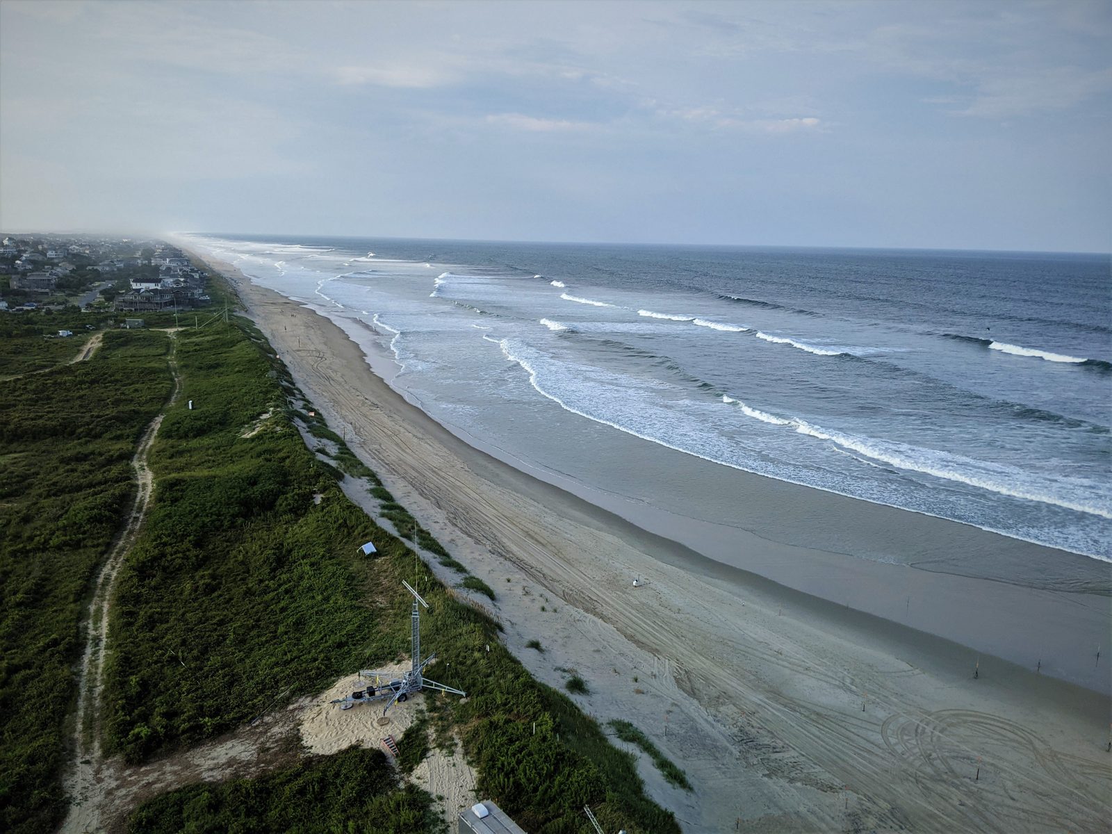
What happens next
Forecasters expect the storm to linger for days. Impacts may last through late Wednesday into Thursday, according to FOX Weather.
The worst flooding may stretch from the Outer Banks to Chesapeake Bay. It may reach Ocean City, Maryland.
Water there may rise more than two feet above normal at high tide.
High surf and rip currents may last much of the week. They may stretch from Florida's Atlantic beaches to New England, according to the Weather Channel.
A rip current is a fast flow of water that pulls swimmers out to sea. Stay out of the surf when red flags fly.
Obey the flags. If in doubt, stay out of the water.
The heaviest rain should stay near the Carolinas. Forecasters are less sure how much rain will reach New England.
By Thursday, the impacts should start to fade. But some flooding may linger.
Jamie Kritzer works for the North Carolina Department of Transportation. She said the storm looks like a multi-day event.
She asked people to be patient.
How to stay safe
Do not drive through floodwater. Even shallow water can stall a car.
Turn around and find another route.
If you must drive in heavy rain, slow down. Read our guide on how to drive safely in heavy rain.
It explains speed, gaps, and hydroplaning in plain words.
Floodwater is fast and strong. A recent case of tropical storm flooding shows how fast streets can fill with water.
High wind can also knock out power. A windstorm that cut power in Edmonton shows what that feels like.
Keep phones charged. Keep food, water, and medicine ready.
Check local alerts before you travel.
The next few days will test the Outer Banks. Tides will rise each day.
Roads may close and reopen. Leave early if officials tell you to go.
Related stories
Why Your Faucet Keeps Dripping After You Turn It Off
A dripping faucet is usually a worn washer, O-ring, or cartridge that can no longer seal. One drip per second wastes over 3,000 gallons
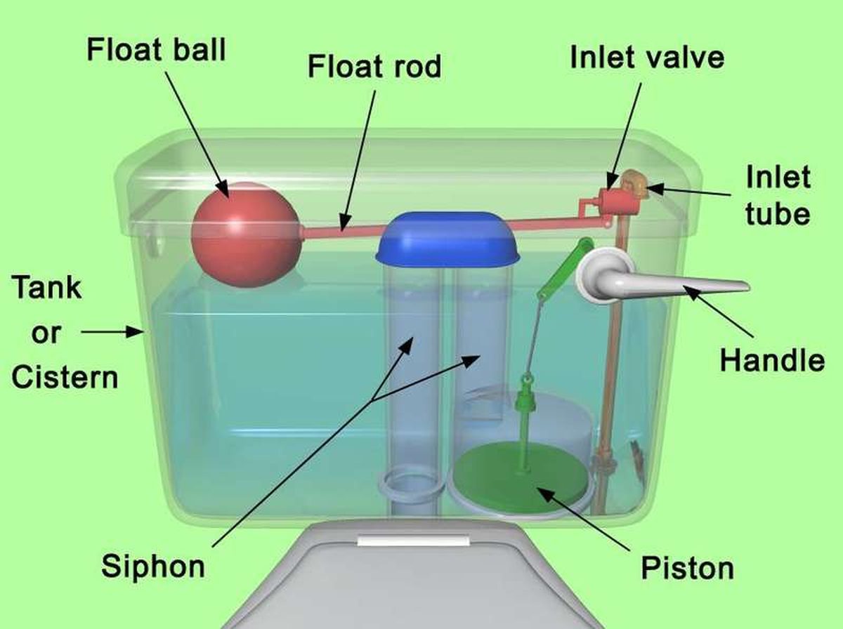
How to fix a running toilet without a plumber in 30 minutes
A running toilet can waste 200 gallons of water a day. Diagnose the flapper, float, or fill valve in two minutes, then fix it yourself

How to hang heavy shelves on drywall safely
Studs first, toggle bolts second, plastic anchors never for heavy loads. Weight ratings, installation steps, and mistakes that bring