
Thunderstorms bring supercells, giant hail to Queensland and NSW: millions at risk
Web StoryWatch this story in 15 seconds →Key takeaways
- Supercell storms are forecast across Queensland and NSW on Tuesday, with hail up to 10 cm and winds over 125 km/h.
- More than 7,000 Queensland homes lost power after overnight storms hit the Fraser Coast.
- The Bureau of Meteorology warns of giant hail and destructive winds; the threat should ease on Wednesday.
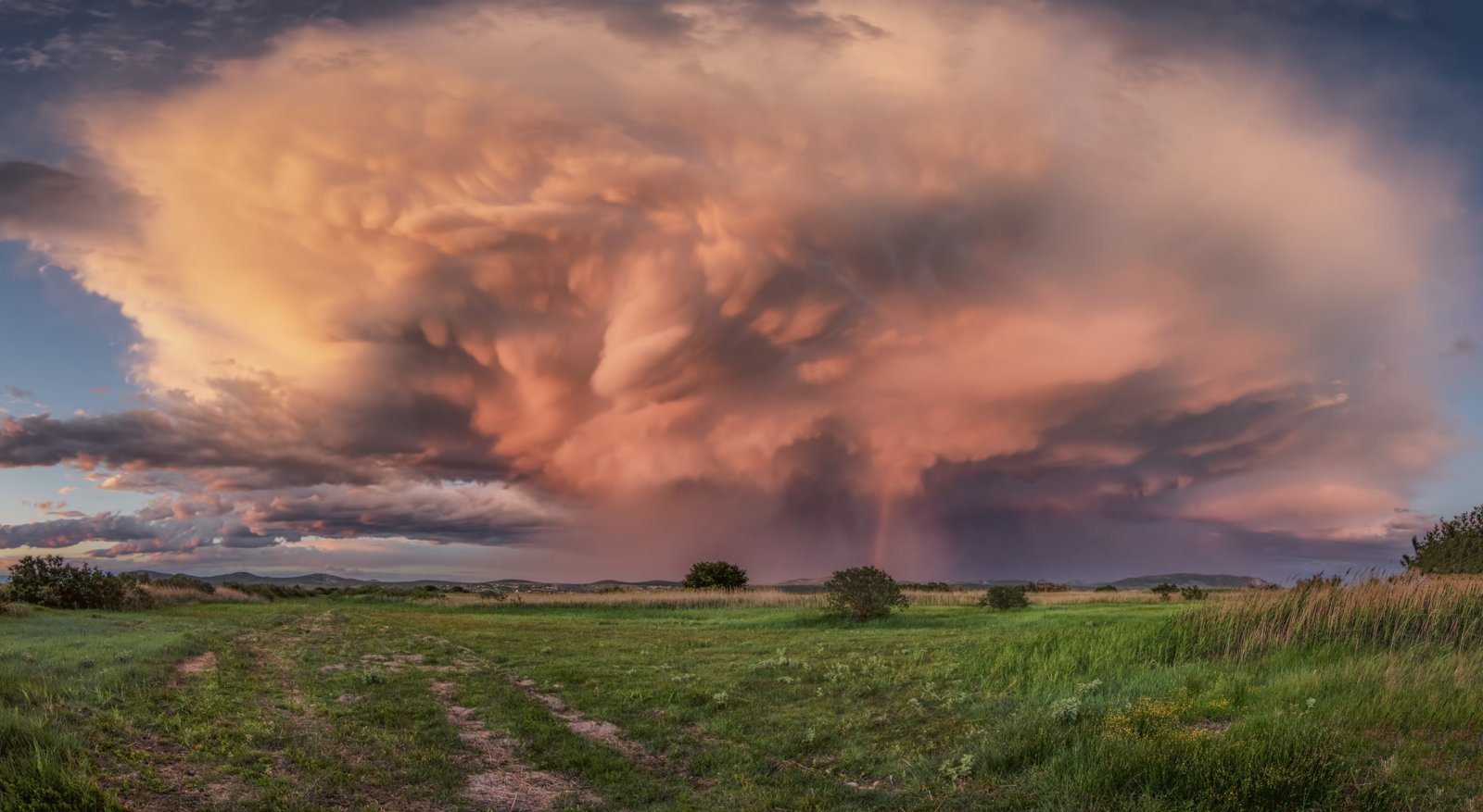
Severe thunderstorms are sweeping across south-east Queensland and northern New South Wales today. They bring giant hail, winds over 125 km/h, and flash floods. Millions of people sit inside the warning zone.
What happened
Hailstones up to 10 centimetres wide hit Queensland's Fraser Coast overnight. Footage from Maryborough showed hail piled up across a road, the ABC reported.
More than 7,000 homes in regional Queensland had no power as of 4:30pm on Tuesday. Storms swept through parts of the south-east, the ABC reported.
The Bureau of Meteorology issued a severe thunderstorm warning for south-east Queensland. The warning names damaging winds, large hailstones, and heavy rain. Warnings remain in place for Brisbane, Ipswich, and the Scenic Rim, the ABC reported.
Senior meteorologist Harry Clarke said the "ingredients are in place" for a tornado. He stressed that recording one is still highly unlikely, the ABC reported.
The region has already seen severe storms in recent days. Forecasters say activity will peak on Tuesday, news. com.
au reported.
Some warnings were cancelled on Tuesday morning. But troughs were already moving over parts of Queensland. Warnings may change fast as storms develop.
Residents may get little notice, news. com. au reported.
Why it matters
A supercell is the most dangerous type of thunderstorm. It is a huge rotating storm. It can last for hours.
It can bring very heavy rain. It can also bring wind gusts over 125 km/h. Giant hail wider than 5 cm is possible too, Weatherzone explains.
Bureau meteorologist Jonathan How called the atmosphere "highly unstable". He expects a "significant" storm day today. The worst zone runs from the NSW south coast to the Fraser Coast.
That is what the ABC reported.
Supercells could form in north-east NSW and in south-east and central Queensland. The storms may hit the Southern Downs and Toowoomba areas. Then they will move east to north-east, the ABC reported.
Wind this strong can bring down trees and cut power. High winds caused big outages during a recent windstorm in Canada. That shows how fast power can fail.
Heavy rain on soaked ground means fast-rising water. Storm drains and creeks can fill quickly, news. com.
au reported. If flooding forces people out, flood evacuations follow the same stay-ahead-of-the-water logic.
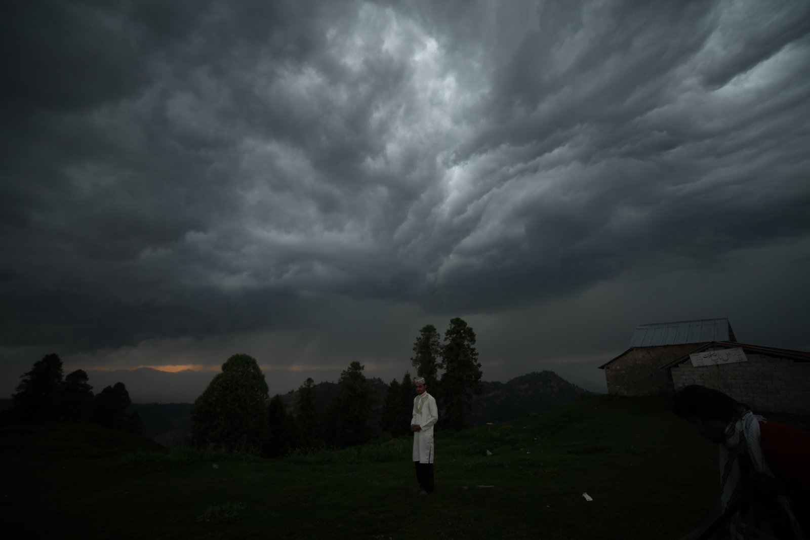
Hail this size can smash cars, damage roofs, and hurt anyone caught outside, news. com. au reported.
Jonathan How warned that giant hail can cause major damage to vehicles, the ABC reported.
Hail can punch holes in a roof. The first sign indoors is often water stains on the ceiling. Spotting them early limits the damage.
How to stay safe
Emergency authorities say the steps are simple. Get indoors before the storm arrives. Move cars under secure cover.
Stay away from windows. Avoid floodwater and keep clear of fallen powerlines, news. com.
au reported.
If you are driving when the storm hits, pull over safely. Park under a roof if you can. Giant hail can break through car glass, news.
com. au reported.
What happens next
The highest-risk band stretches about 2000 km. It runs from central Queensland to eastern Victoria. It includes Brisbane, Sydney, and Canberra, Weatherzone reported.
Communities north of Port Macquarie face the greatest threat, news.com.au reported.
In NSW, warnings cover the Northern Rivers, Mid North Coast, Hunter, and Illawarra. Named areas include Grafton, Inverell, Armidale, and Nowra, news. com.
au reported.
In Queensland, warnings cover the Darling Downs, Granite Belt, Wide Bay, and Central Highlands. Taroom and Miles were singled out as giant-hail risks, news. com.
au reported.
Emergency authorities urge people to get indoors and move cars under cover. Stay away from windows and avoid floodwater, news. com.
au reported.
Forecasters expect the threat to ease in south-east Queensland and north-east NSW on Wednesday. Severe storms could still linger further north in Queensland, news. com.
au reported.
Keep watching the Bureau of Meteorology radar through the afternoon. Warnings can change fast as new cells form. Ring the SES on 132 500 for emergency help in severe weather.
In a life-threatening emergency, call triple zero (000), Weatherzone advises.
Related stories
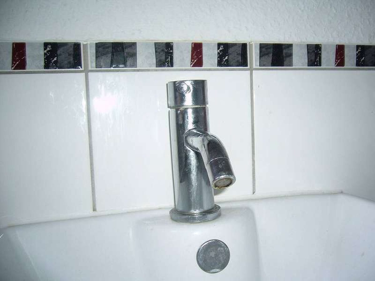
Why Your Faucet Keeps Dripping After You Turn It Off
A dripping faucet is usually a worn washer, O-ring, or cartridge that can no longer seal. One drip per second wastes over 3,000 gallons
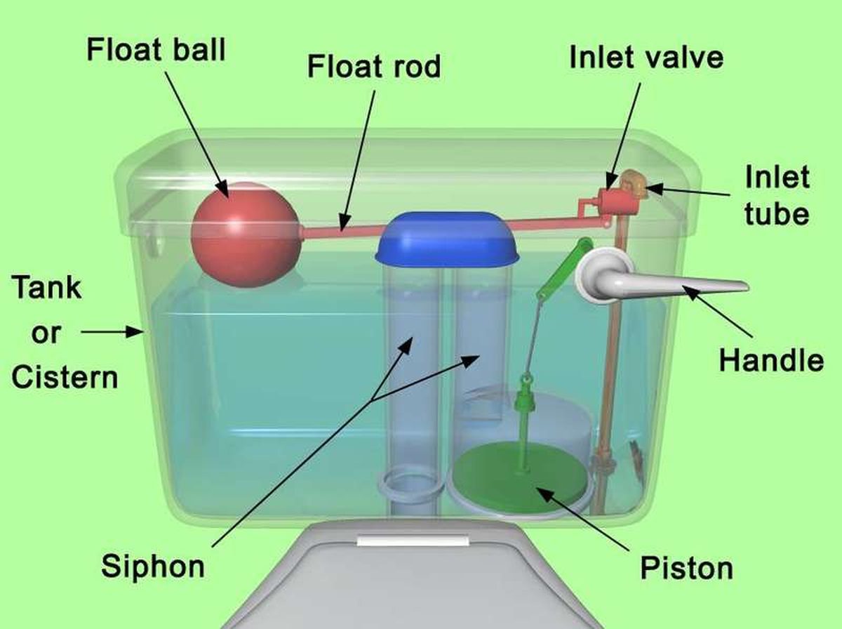
How to fix a running toilet without a plumber in 30 minutes
A running toilet can waste 200 gallons of water a day. Diagnose the flapper, float, or fill valve in two minutes, then fix it yourself

How to hang heavy shelves on drywall safely
Studs first, toggle bolts second, plastic anchors never for heavy loads. Weight ratings, installation steps, and mistakes that bring