
Southern California floods: record tides, closed roads, and a Halloween storm
Web StoryWatch this story in 15 seconds →Key takeaways
- Ocean water along Southern California reached its highest recorded heights this week. Hundreds to thousands of buildings and homes were flooded.
- Part of Pacific Coast Highway closed near Huntington Beach. Seawater pushed into streets, shops, and beach parking lots.
- A Halloween storm added rain to the high water. Forecasters warn that even higher tides could arrive near Thanksgiving.
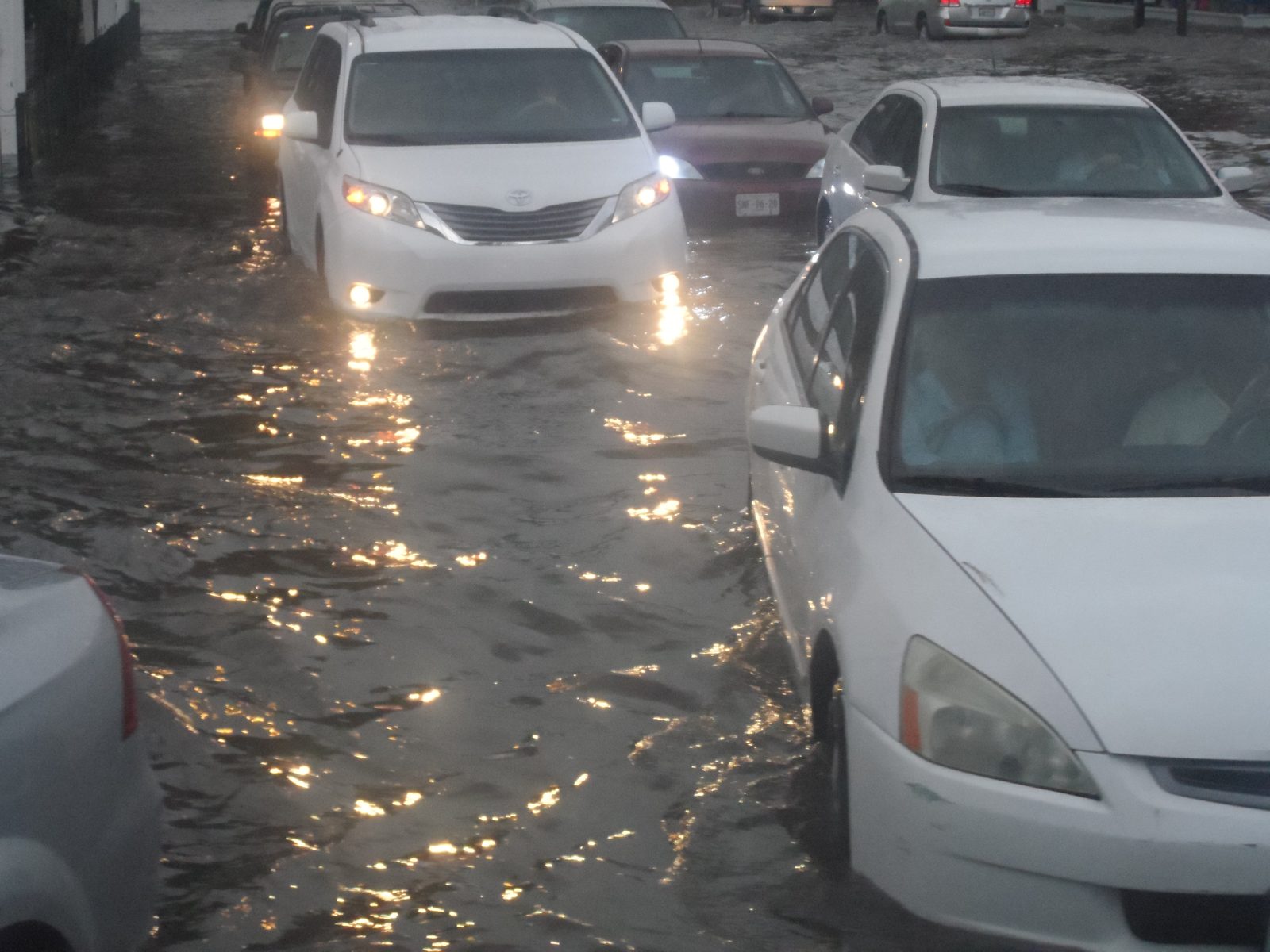
Southern California's ocean water reached record heights this week. High tides flooded streets, homes, and shops from Malibu to San Diego. A Halloween storm then added rain on top of the high water.
This was not a normal high-tide week. In Southern California, ocean levels reached their highest heights ever recorded in any month.
The flooding touched hundreds and perhaps thousands of structures. It hit both homes and businesses along the coast.
What happened
The week started with rising ocean water along the whole California coast. By late October, water levels in Southern California broke all-time records. Northern California saw October monthly records too.
In Sunset Beach, part of Pacific Coast Highway closed on Wednesday. Water covered about half the road between Warner Avenue and Anderson Street.
In some spots the water was shin-deep or knee-deep. Crews shut the road and pumped water out.
Newport Beach's Balboa area saw widespread flooding. At Redondo Beach's International Boardwalk, water kept breaking over the seawall. The seawater entered bars and restaurants near the water.
Flooded areas stretched from Malibu down to San Diego. The worst spots included Long Beach, Newport Beach, and Redondo Beach. A stretch of Pacific Coast Highway near Huntington Beach also closed.
People waded through knee-deep water there. Some crossed flooded areas on paddleboards.
The National Weather Service warned that low-lying property would flood. The agency said homes, businesses, and critical infrastructure would be inundated. In Los Angeles County, high tides reached about 7.5 feet late in the week.
San Diego's tide gauge topped 8 feet. That was nearly 1.5 feet above the predicted level, according to The Weather Company.
Coastal flood warnings and advisories covered beaches from San Luis Obispo to San Diego. The alerts ran through Friday.
Why it matters
Homes near the coast took direct hits. Beach parking lots, bike paths, and harbor walkways all flooded. Waves damaged some buildings so badly they may be total losses.
This flooding has been linked to El Nino. El Nino is a climate pattern that warms the Pacific Ocean.
This year's El Nino is extremely strong. It pushed warm water toward the California coast.
Two things raised the water level. First, warm water takes up more space. This is called thermal expansion.
Second, a wave of warm water moved along the coast. Scientists call it a Kelvin wave.
Here is the surprising part. The moon was not the main cause.
The tides this week were higher than average, but not extreme by moon standards. The record water came mostly from the El Nino effects.
That matters for homeowners. Floodwater from the ocean does real damage. It soaks floors, walls, and wiring.
Salt water corrodes pipes and appliances. Cleanup takes weeks and costs a lot.
The flooding also closed major roads. Pacific Coast Highway is a key route.
When it closes, traffic piles up across beach cities. Emergency crews had to pump water and clear debris.
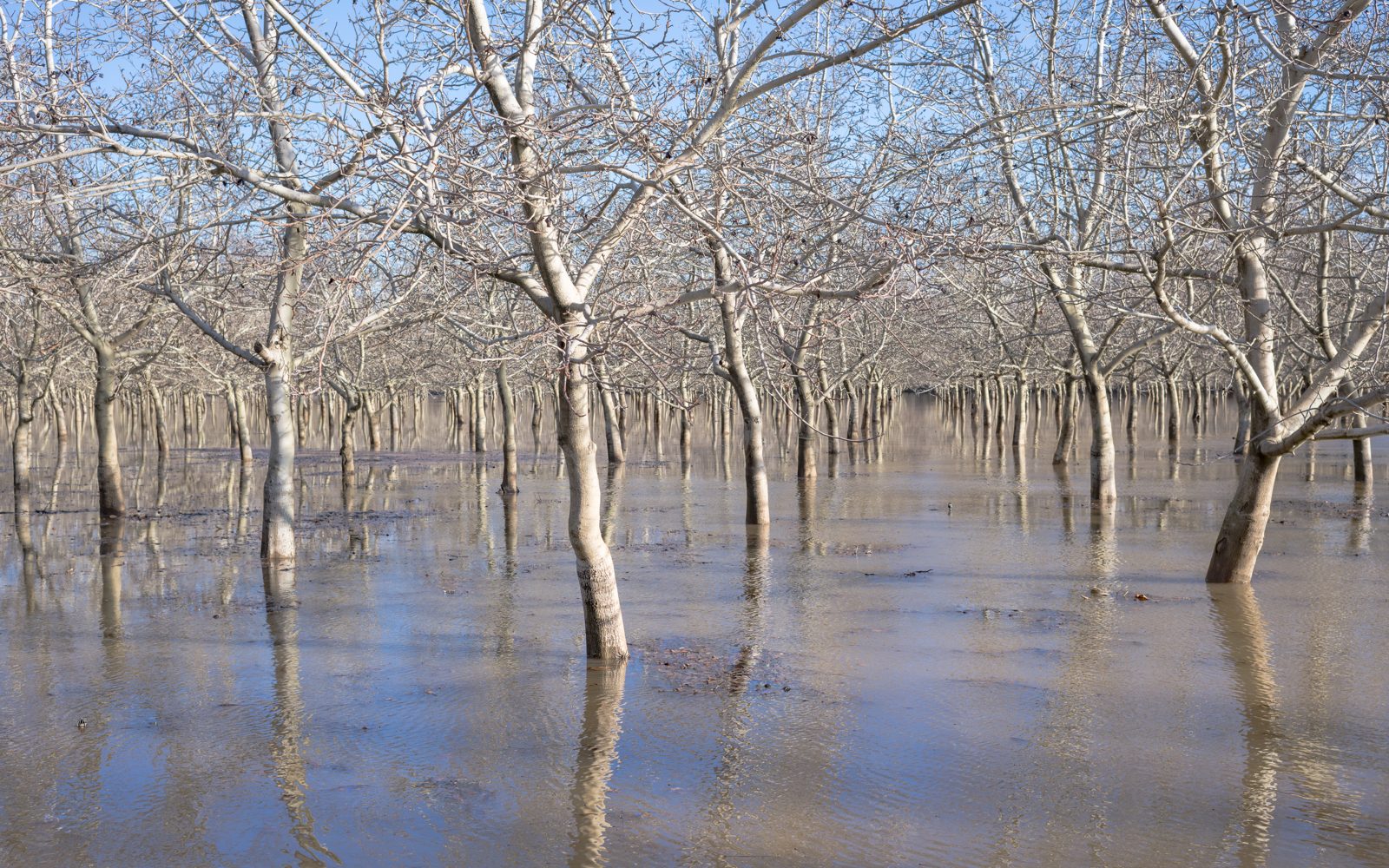
Compare this with the flooding and evacuations in Archuleta County earlier this month. There, a mandatory evacuation order covered areas near four rivers. Water inside a home causes the same kind of damage anywhere.
If you see water stains spreading across your ceiling, act fast. Moisture problems only grow worse with time.
What happens next
The Halloween storm brought rain to the area. Forecasters expected 0.25 to 1 inch of rain in most areas. Los Angeles and Orange counties were both included.
Mountain slopes could get up to 2 inches. Some models showed heavier rain.
Strong winds can also knock out power during storms. Here is how one Edmonton windstorm left homes without power on a Saturday.
The National Weather Service had high confidence in widespread rain. But amounts were harder to predict. The agency said there was moderate confidence in the totals.
Rain makes coastal flooding worse. Heavy rain can overwhelm drains.
At the same time, high ocean water blocks floodwater from escaping. That combination traps water in streets.
Los Angeles faced its first wet Halloween in 12 years. The heaviest rain was expected late Saturday into Sunday. Forecasters warned parents to have backup plans for trick-or-treat events.
Dry and warmer weather was expected Monday and Tuesday. High temperatures could reach the upper 60s and 70s. A slight chance of showers could return Wednesday.
But the bigger risk lies ahead. The true king tides arrive near Thanksgiving week. Another round comes around December 23 to 25.
These are the year's highest moon-driven tides. They will run 6 to 12 inches above this week's tides.
The El Nino effects will persist for months. Water levels could end up 1 foot higher than current records.
If a strong storm hits during a king-tide window, flooding could rise even further. Storm surge and runoff could add another 1 to 2 feet.
Forecasters also warned about areas east of California. The Four Corners region faces a serious flood threat this weekend.
Sunday already carried a rare level 3 of 4 flood risk there. The same storm system could hit areas still recovering from last week's floods.
Looking further ahead, forecasters expect a wetter pattern by mid-November. Northern California may see its first big rain of the season soon.
The timing points to the second week of November. More soaking rains could follow across the whole state.
The message for coastal residents is simple. Check your home now. Move valuables off low floors.
Know your evacuation route. And keep watching the forecasts.
The ocean has already broken records once this month. It may do it again.
Related stories
Why Your Faucet Keeps Dripping After You Turn It Off
A dripping faucet is usually a worn washer, O-ring, or cartridge that can no longer seal. One drip per second wastes over 3,000 gallons
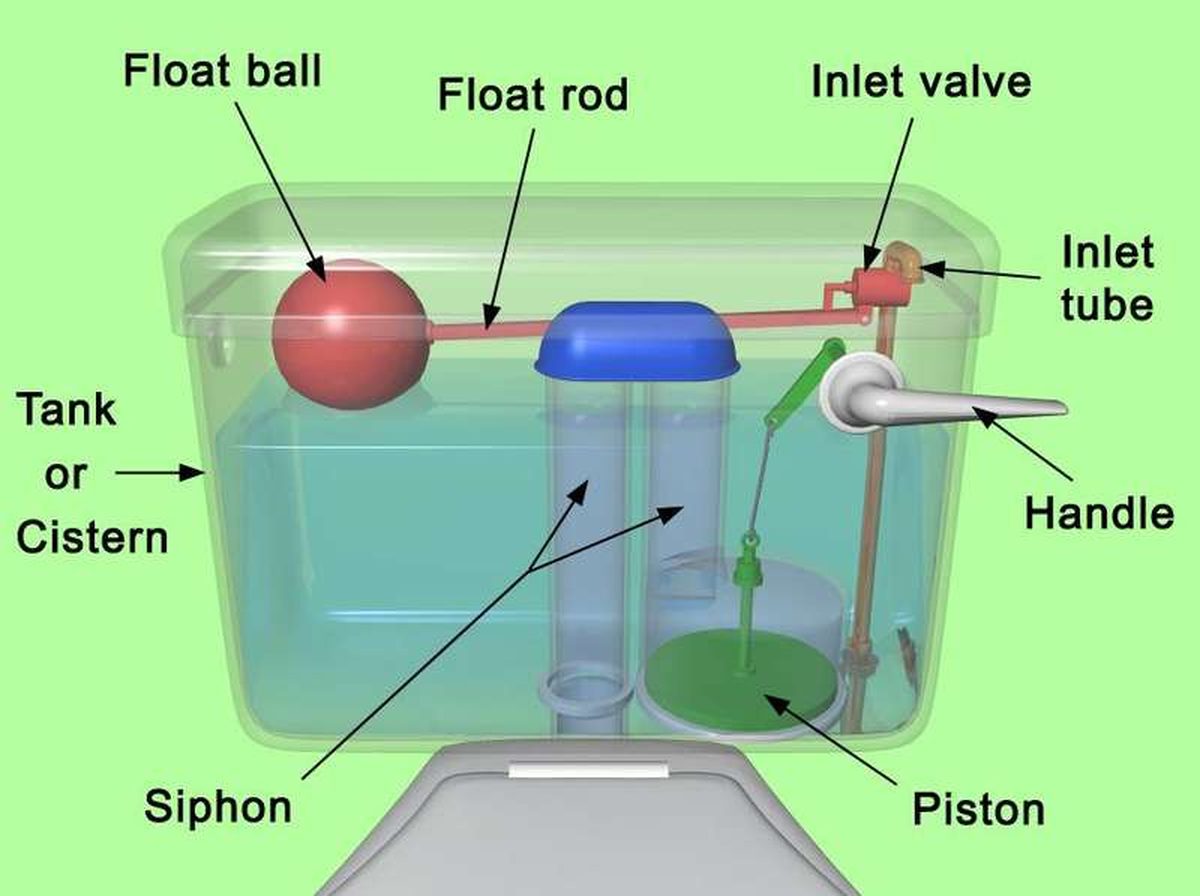
How to fix a running toilet without a plumber in 30 minutes
A running toilet can waste 200 gallons of water a day. Diagnose the flapper, float, or fill valve in two minutes, then fix it yourself

How to hang heavy shelves on drywall safely
Studs first, toggle bolts second, plastic anchors never for heavy loads. Weight ratings, installation steps, and mistakes that bring