
How pilots navigate between continents without seeing land
By Rive News / Research desk | Rive News / Published October 24, 2026 at 9:00 AM PKT
Key takeaways
- Every transcontinental flight follows a written route of named waypoints, filed as a flight plan and approved before pushback.
- The flight management system blends GPS, ground radio beacons and self-contained inertial sensors to hold that route precisely.
- Over oceans, daily published tracks plus automatic satellite position reports do the job that radar does over land.
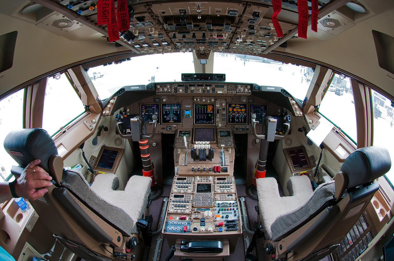
[The flight deck of a Boeing 747, the workspace where the filed route is loaded and monitored.] Photograph: Alex Beltyukov
Image Credits: Wikimedia Commons
A transcontinental flight is not steered by a pilot watching the horizon. It is flown along a list of invisible points in the sky, each one named and pinned to exact coordinates, agreed in writing before the aircraft ever moves.
The computer in the cockpit holds that list. It checks the aircraft's position against it constantly, drives the autopilot to close any gap, and keeps working even when the signal it was using drops out. The pilots monitor it, verify it, and can take over at any point.
This article explains how pilots navigate between continents, including how routes become flight plans, what the flight management system does, how GPS and inertial systems work together, and how oceanic crossings stay safe without radar.
How a route becomes a flight plan
Every flight begins as a route on paper, not in the air. Airline dispatchers plot a sequence of named waypoints connected by airways, like cities linked by highways, and file it as a flight plan for air traffic control to approve before departure.
A waypoint is simply a fixed geographical point with a name and exact coordinates. Some are published fixes with five-letter codes; others are defined purely by latitude and longitude out over the ocean, where no landmark exists.
Area navigation changed the game here. According to the FAA's Pilot's Handbook of Aeronautical Knowledge, area navigation (RNAV) allows aircraft to follow routes between designated waypoints rather than flying directly from one ground-based navigation station to another.
The pilots load the cleared route into the aircraft before pushback. They can enter the waypoints from the navigation database, type coordinates by hand, or upload a flight plan built by external planning software straight into the cockpit computer.
Once loaded, the route is checked twice. On long-haul flights, one pilot reads each waypoint against the released paperwork while the other confirms it on the displays. A single typo could aim the aircraft at the wrong piece of sky, hours away.
What the flight management system does
The flight management system, or FMS, is the aircraft's navigation hub. It takes the filed route, computes the aircraft's position from every available sensor, and tells the autopilot exactly how to stay on the line.
The heart of the FMS is its navigation database: a worldwide catalog of waypoints, airways, airports and radio aids. According to the aviation publication AN.Aero, that database is updated every 28 days, as fixes and procedures change.
That 28-day rhythm has a name. The FlightSim Association's navdata guide explains that the cycle is called AIRAC, established in 1964, with each new dataset released on a Thursday. Every IFR-capable cockpit runs on the same calendar.
Beyond position, the FMS handles performance. It calculates optimal speeds, altitudes and fuel burn for each segment, works out the top-of-descent point, and estimates the arrival time. Automating these chores lets two pilots manage a fourteen-hour sector.
The FMS also talks to the ground: it shares route and position data with air traffic control, so clearances and reroutes flow without anyone retyping coordinates.
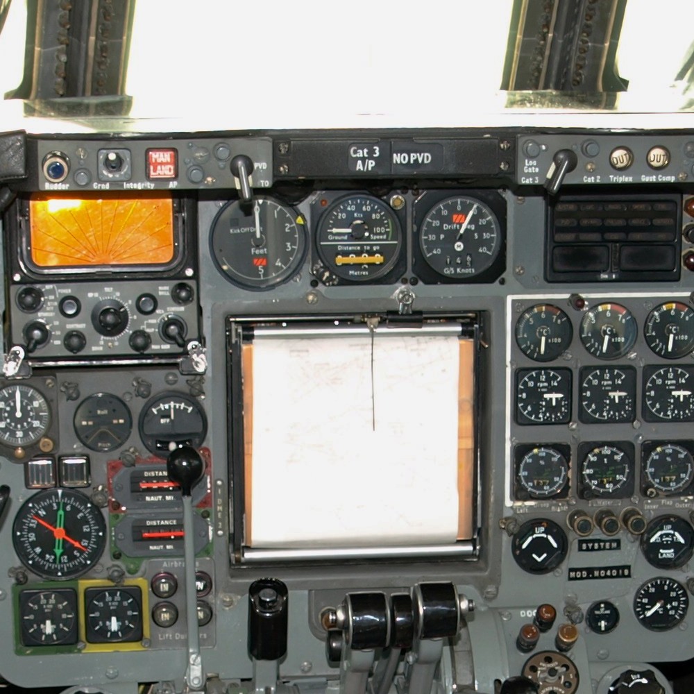
[An older airliner's moving-map navigation display, plotting the aircraft's position along its route.] Photograph: Nimbus227
Image Credits: Wikimedia Commons
How GPS, inertial systems and the layered safety net fit together
Most people assume the answer is GPS, and it is the headline sensor. The FMS uses satellite signals to fix the aircraft's position within meters, and the arrival estimate on your seatback screen comes from that same feed.
But GPS is only one layer. Buried in the fuselage are inertial reference units: solid-state boxes with ring-laser gyroscopes and accelerometers that sense every acceleration and rotation of the aircraft. They navigate by dead reckoning, entirely self-contained, needing no outside signal at all.
Inertial systems drift. The PBN Portal, a European performance-based navigation resource, states that accuracy decays at roughly 1 to 2 nautical miles per hour after alignment. On a seven-hour crossing, that is a meaningful wander.
The fix is blending. Aviation systems site Aircraft Systems Tech explains that GPS feeds correction data into the inertial computer, combining satellite precision with the smooth, uninterrupted output of the inertial sensors. The result is better than either one alone.
Over land there is a third layer: ground radio beacons. VOR stations give direction, DME gives distance, and together they let the FMS cross-check its position against independent ground signals. These fade beyond the coastline, which is why oceanic flying gets its own rulebook.
The design philosophy is redundancy, not perfection. Each layer covers the failures of the others, which is why a GPS outage over the ocean is treated as an inconvenience and a procedure, rather than an emergency.
Crossing an ocean without radar
The North Atlantic has no radar. There is simply nowhere to put the antennas across two thousand miles of water. So controllers cannot see aircraft on a screen the way they do over land.
Instead, the ocean gets a daily plan. Air traffic authorities publish the North Atlantic Organized Track System, a set of eastbound and westbound tracks redrawn each day around forecast winds and traffic demand. According to Wikipedia's article on the North Atlantic Tracks, the eastbound message goes out around 1400 UTC and the westbound around 2200 UTC.
Track publication became a daily feature in 1965, and the system has kept evolving: GPS was approved for track navigation in 1996, and data-link messaging overtook high-frequency radio in 2006.
After receiving oceanic clearance, the crew programs every waypoint into the FMS and verifies it against the published track message. According to Simple Flying's cockpit account of transatlantic crossings, many crews also plot the route on a paper oceanic chart as an extra check against programming errors.
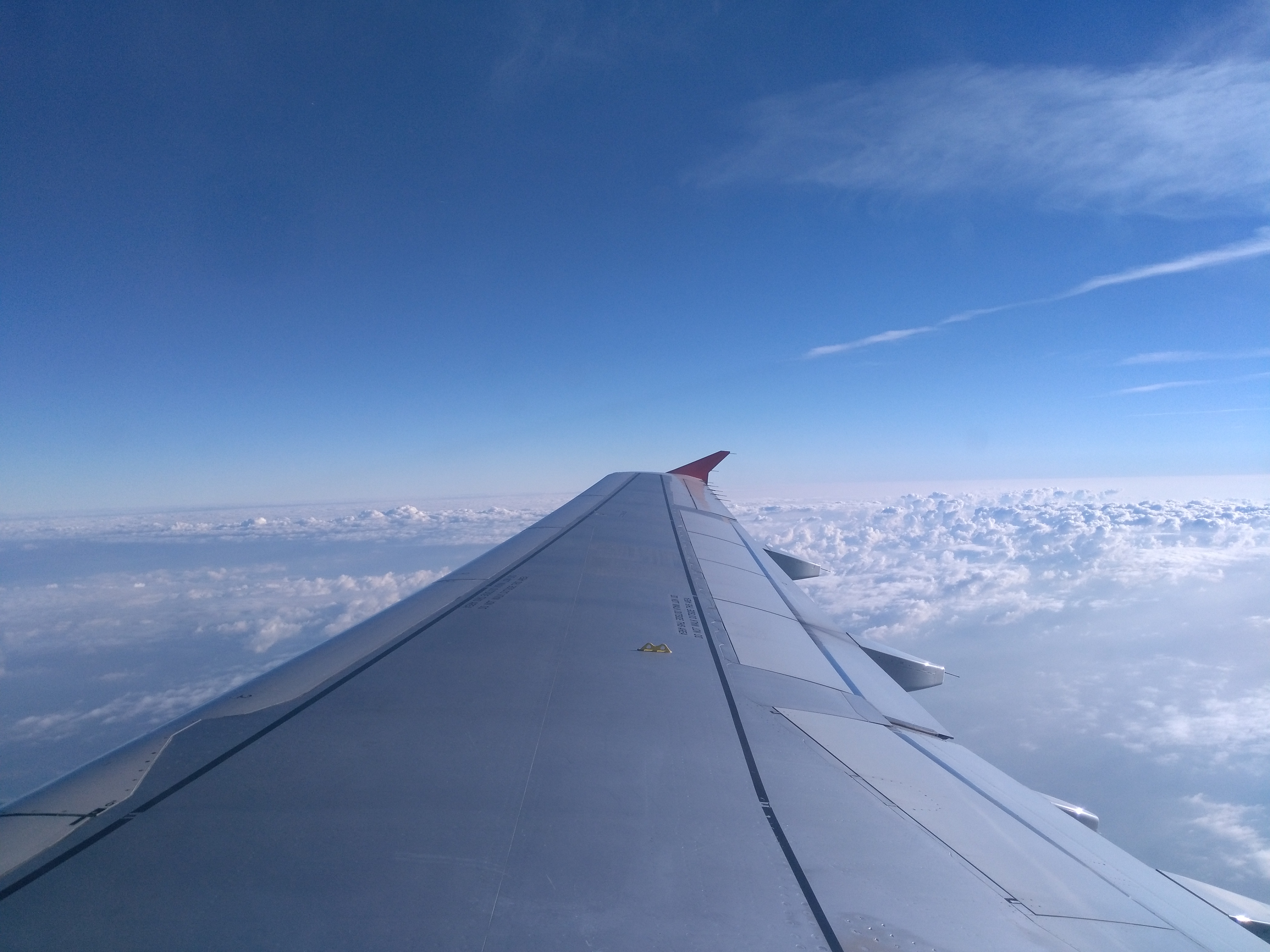
[Above the clouds on a long-haul sector, with the flight management system holding the route.] Photograph: Tobias1984
Image Credits: Wikimedia Commons
Without radar, separation runs on reports. Over the Atlantic, aircraft send position reports at each flight-plan point, and today most of those go out automatically. The Gander Oceanic knowledge base explains that controllers now rely on ADS-C, which transmits position data via satellite, and space-based ADS-B, to track aircraft where no radar reaches.
Voice position calls have largely faded. The FAA's aeronautical information manual states that for aircraft with an ADS-C logon, pilots should discontinue voice position reports, since the automated contract is already feeding controllers the same data.
One safety habit is the strategic lateral offset. Simple Flying reports that aircraft may fly up to 2 nautical miles (3.7 kilometers) to the right of their track centerline. The offset adds a buffer against navigation errors and keeps aircraft clear of the wake ahead.
The crew also plans the what-ifs. They mark the equal time point, beyond which continuing across is faster than turning back, and they monitor diversion airports like Shannon, Keflavik and Lajes in case the crossing has to end early.
How do pilots know where they are over the ocean?
They know because the FMS knows. It blends GPS with inertial sensors to track position continuously, and it broadcasts that position to oceanic controllers automatically through ADS-C satellite links. When GPS drops out, the inertial system carries on by dead reckoning until the signal returns.
Do pilots actually fly the plane across the ocean?
Mostly they supervise. The FMS flies the programmed route through the autopilot while the pilots monitor fuel, weather and systems, talk to controllers and run checks. They can disconnect the automation and hand-fly at any moment.
What happens if GPS stops working mid-flight?
The aircraft keeps navigating on its inertial reference system, which needs no external signal. Over land, the FMS also cross-checks against ground radio beacons like VOR and DME. Procedures exist for GPS outages precisely because no single sensor is trusted alone.
Are transatlantic routes the same every day?
No. The North Atlantic tracks are redrawn twice daily around the jet stream, so eastbound flights chase tailwinds and westbound flights dodge headwinds. Flights can also use random routings clear of the track system when the published tracks do not suit their origin or destination.
The bottom line
Pilots cross continents by following a pre-agreed list of waypoints, flown by a computer that blends GPS, inertial sensors and radio aids, and kept safe over radar-free ocean by daily tracks and automatic satellite position reports. The skill is not in steering the line, but in planning it, verifying it and managing everything that can go wrong along it.
If this made the view from seat 34A more interesting, you might enjoy our explainer on why do flights get delayed, and what announcements really mean, the other half of the cockpit story.
Tags: Aviation, Navigation, Flights
Written by the Rive News research desk, which covers travel and science explainers. Every fact in this article is traced to a public source, checked before publication.
Related
- How Does Travel Insurance Work and What Does It Cover
- How to sleep on a plane when you cannot fall asleep
- Why Cruise Ships Do Muster Drills Before Sailing
Get one travel explainer like this every week, subscribe to the Rive News newsletter.
Rive News verifies every statistic against its original public source before publishing.
Related stories

The 3-1-1 liquids rule for planes: what each number means
TSA's 3-1-1 rule limits carry-on liquids to 3.4-ounce containers in one quart bag. Where the 2006 rule came from, what counts, and how
Why Is Airplane Food So Bland at Altitude?
A 2010 Fraunhofer study found altitude cuts sweet and salty perception by up to 30 percent. Low humidity, cabin pressure, and noise all

Carry-on size limits: why airlines each set their own
Airlines set their own carry-on limits because the FAA only requires each carrier to have a policy, not one global size. Why 22 x 14 x