
Queensland flash floods after record October rain: what we know
Web StoryWatch this story in 15 seconds →Key takeaways
- Record October rain hit South East Queensland on 22 October 2026, with 172 mm in 3 hours at Caboolture.
- Flash floods closed roads, shut schools, and forced "prepare to leave" orders in parts of Moreton Bay.
- A TV reporter and a bystander pulled a driver from a sinking car near Morayfield on Wednesday.
- Forecasters expect the wet pattern to last until next Tuesday, with another storm peak likely on Monday.
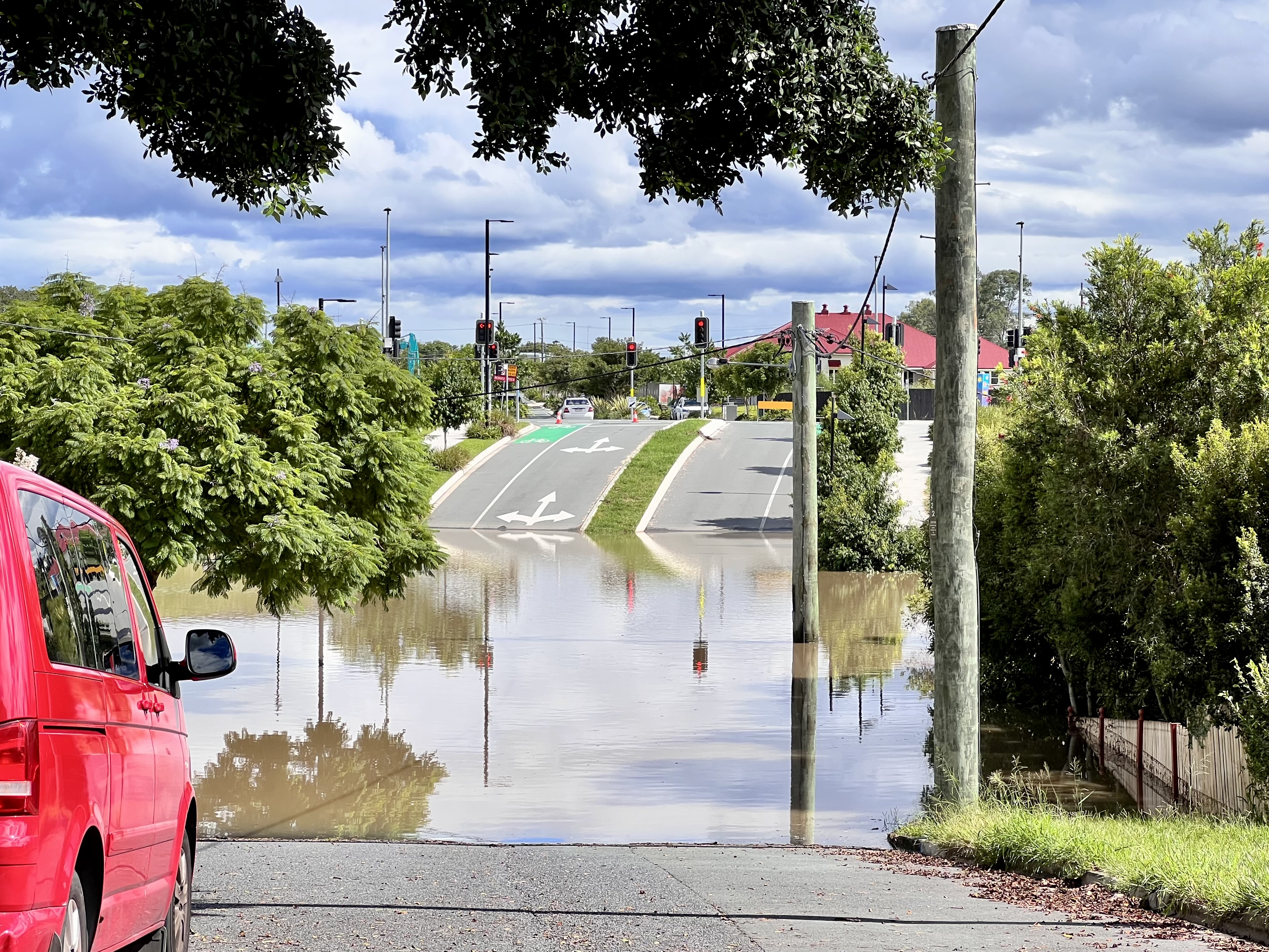
Why is "flash flooding today" trending? Because South East Queensland got hit by record-breaking October rain on 22 October 2026. Fast-moving storms dumped huge amounts of water in just a few hours.
Streets flooded, cars stalled, and rescue teams stayed busy through the night. The Bureau of Meteorology (BoM) issued severe thunderstorm warnings for Brisbane and nearby towns.
It warned of "dangerous and life-threatening flash flooding."
Councils handed out free sandbags. Schools closed. And forecasters say more rain is coming.
What happened
Rain fell all night across South East Queensland and parts of northern New South Wales. Then it got much worse after dawn on Thursday, 22 October 2026.
The numbers are striking. In just three hours, these totals were recorded:
- Caboolture Water Treatment Plant got 172 mm (to 8:30 am).
- Sheep Station Creek at Morayfield got 168 mm (to 7:30 am).
- Round Mt Reservoir got 167 mm (to 8:15 am).
These figures come from Weatherzone's weather report. Over 24 hours, Caboolture saw 263 mm. That was the highest total anywhere.
Many spots north of Brisbane got more than 200 mm in a day.
October records fell. Beerburrum, near the Sunshine Coast, logged its wettest October day ever with 170.8 mm. That is more than double the whole month's normal average of 81.4 mm.
Inland, Toowoomba got 42.6 mm. That was its biggest October daily total in 29 years. It was almost as much rain as the city got in the four very dry months before it.
What made it so bad was not just the total. It was the speed.
Storm cells kept parking over the same areas. Roads flooded in minutes.
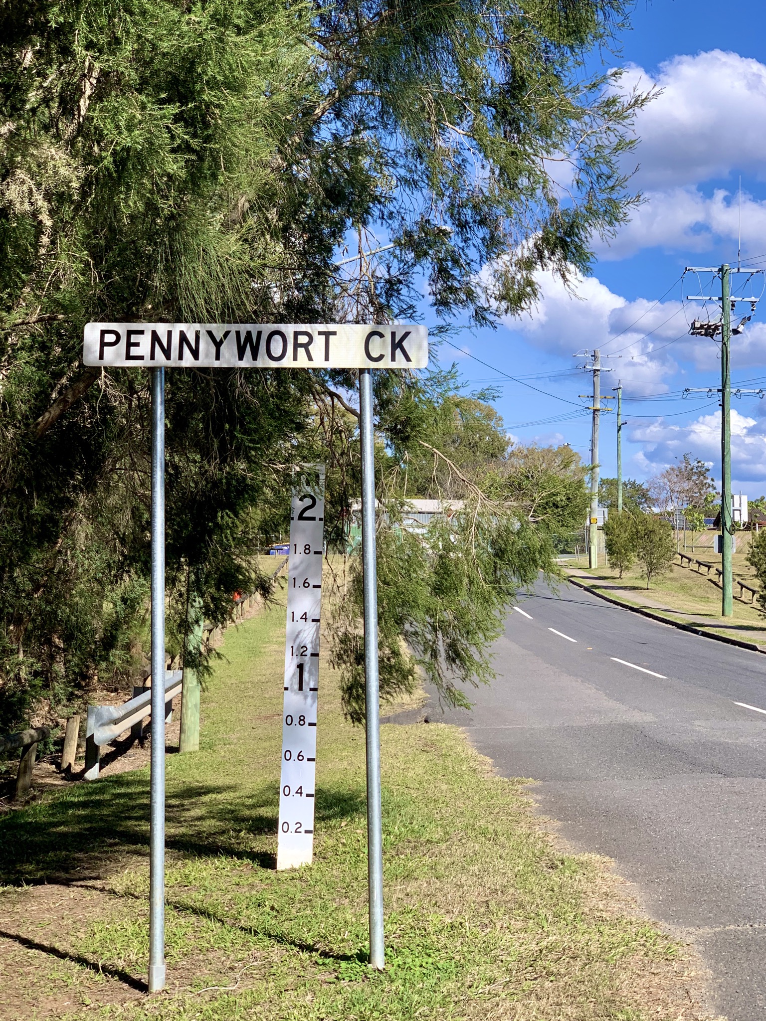
Creeks rose fast.
Moreton Bay Regional Council put Burpengary and Burpengary East on "prepare to leave" notice. Burpengary Creek was rising quickly. Brisbane City Council opened depots with free sandbags.
The SES logged 67 taskings, mostly for sandbagging and roof tarping. Dozens of roads closed. Morayfield State High shut for the day.
Then came the rescue that caught global attention. ABC reporter Will Murray was filming a flood report north of Brisbane on Wednesday. A man drove a four-wheel drive into floodwater.
The car stalled and started to sink. Murray and another man swam out and pulled the driver free. They got him out just before the car went under.
"The pair of them definitely saved that man's life," ABC camera operator Liz Pickering said, according to the broadcaster. Reuters reported that about 170 mm of rain had fallen at Morayfield that day.
Why it matters
This storm broke records in a month that is usually drier. When rain falls this fast, the ground cannot soak it up. Water runs straight into streets, drains, and creeks.
That is how flash floods form, and they can turn deadly in minutes. The rescue near Morayfield shows the biggest danger: driving through floodwater.
A small car can start to float in just 15 cm of moving water. A four-wheel drive can handle more. But not water flowing fast over a flooded road.
The driver got lucky. Others may not.
The timing matters too. The wet pattern was expected to last until the following Tuesday.
That is according to Weatherzone meteorologist Jess Miskelly. Peak storm days were forecast for Thursday into Friday and again on Monday. A "high-end" severe thunderstorm was possible next Monday.
For families, that means the danger was not over when the first storm passed.
There is also a money angle. Storms like this damage roofs, cars, and furniture. Power lines fall.
Some insurers see claims spike after events like this. Graziers got some relief from dry months. But grain growers faced harvest losses, according to the storm summary.
Heavy rain at harvest time can ruin a crop in days. For readers thinking about their own homes: this is a reminder to check gutters and drains before storm season.
If you find water stains on your ceiling after a storm, that can be an early sign of roof damage. Small leaks grow fast when the next storm hits.
What happens next
More rain was expected through the week. The general storm pattern was set to hold until Tuesday, 27 October 2026.
A cold front from the west was expected to push the humid air away by Thursday. After that, dry westerly winds were forecast to follow. Storm activity would then shift to northern Queensland.
But the days in between carry risk. Thursday into Friday was the first peak. Monday looked like another peak.
That is when surface troughs concentrate over South East Queensland again.
The BoM warned that more flash flooding could follow each burst of storms. If you live in the region, here is what the official advice boils down to.
Never drive through floodwater. Turn around. Find another way.
Stay inside a strong building during storms. Keep doors and windows shut.
Park your car under cover, away from trees. Charge your phone and power banks in case the power goes out. Keep pets somewhere safe, where they cannot run off in a panic.
Check the BoM and your local SES for warnings. Conditions change fast. If you must drive during storm season, read our guide on how to drive safely in heavy rain before you set out.
After the water goes down, the clean-up starts. Damp walls and floors can grow mould within days.
If that happens in your bathroom or on window frames, learn how to remove mould safely. Do not just scrub it with strong bleach.
One record-breaking storm is a warning. Two peaks in one week is a season that is turning dangerous. Queenslanders should keep their emergency kits ready and watch the sky until the front finally clears.
Related stories
Why Your Faucet Keeps Dripping After You Turn It Off
A dripping faucet is usually a worn washer, O-ring, or cartridge that can no longer seal. One drip per second wastes over 3,000 gallons
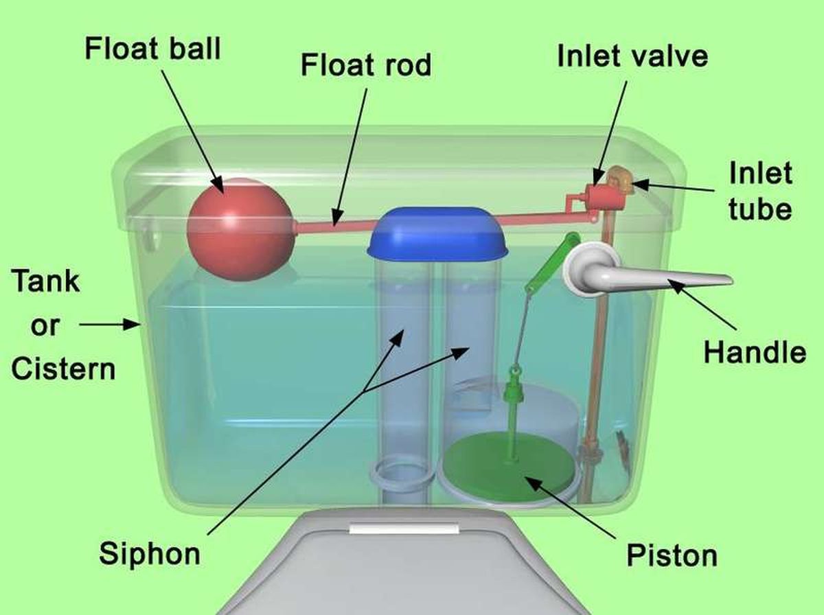
How to fix a running toilet without a plumber in 30 minutes
A running toilet can waste 200 gallons of water a day. Diagnose the flapper, float, or fill valve in two minutes, then fix it yourself

How to hang heavy shelves on drywall safely
Studs first, toggle bolts second, plastic anchors never for heavy loads. Weight ratings, installation steps, and mistakes that bring