
Sydney storms bring warnings as Queensland floods spread
Web StoryWatch this story in 15 seconds →Key takeaways
- Severe storms hit Sydney and much of eastern Australia on Sunday, October 25, with more storms due on Monday.
- South-east Queensland faces flash flooding, large hail, and wind gusts up to 90 kilometres per hour.
- The Bureau of Meteorology calls Monday the last day of this outbreak, with risks easing by Tuesday.
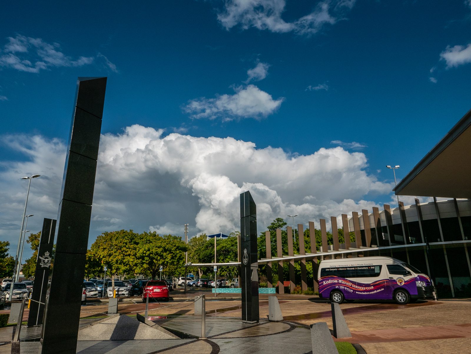
Severe storms swept across eastern Australia on Sunday, October 25. Sydney came under a severe thunderstorm warning in the afternoon. South-east Queensland faced flash flooding, large hail, and strong winds.
More storms are due on Monday, October 26.
What happened
On Sunday afternoon, the Bureau of Meteorology issued a severe thunderstorm warning for Sydney. The warning also covered greater Wollongong and parts of the Blue Mountains. It covered Hawkesbury, Gosford, and Wyong as well.
Wingecarribee and Wollondilly were also in the warning area.
The storm system was very large. It stretched across four states and territories at once. The warning area covered southern Queensland and western New South Wales.
It also covered the Australian Capital Territory and eastern Victoria.
Wind gusts hit 100 kilometres per hour in central west New South Wales. That reading came around midday on Sunday. The bureau said more thunderstorm warnings would follow into the evening.
Queensland had already been very wet for days. Eight flood warnings stayed in force across southern Queensland. Many rain gauges in Wide Bay and Burnett recorded 100 to 200 millimetres of rain.
That rain fell from Saturday into Sunday.
Flooding closed two Queensland bridges. Fraser Coast Regional Council reported the closures. Mungar Road Bridge at Tiaro closed.
Emerys Bridge at Gundiah closed too. The council expected Lamington Bridge in Maryborough to close on Sunday. River levels there kept rising.
The Mary River at Tiaro faced major flooding. Forecasters said it could reach major flood levels on Sunday evening. The risk would run into Monday.
On Sunday morning, flood water covered Widgee Creek near Gympie. A bridge over Sandy Creek outside Clermont also flooded on Sunday.
Queensland flash flooding has hit the region before. This time, the rain came after a very dry September. Parts of southern Queensland then got several times their normal October rain.
Areas near the Sunshine Coast got 200 to 400 millimetres in one week. A car was engulfed by flood water at Morayfield, north of Brisbane, on October 22.
Why it matters
This storm system is unusually broad. Bureau meteorologist David Crock said so. A zone of high pressure sat over the Tasman Sea for about ten days.
That high pressure blocked weather fronts from moving through. Rain and storms then funnelled into southern Queensland.
A strong system at last pushed the block aside. That break often brings severe weather with it. A cooler front moved in from the west.
It pulled tropical moisture down from the north. The result was a storm line from the Snowy Mountains to the Queensland border. Forecasters watched a second band form behind it.
The risks are real and simple. Large hail can smash roofs and cars. Damaging winds can bring down trees and power lines.
Heavy rain can flood roads in minutes. That is why storms can cut power and close roads fast. People in Queensland were already rescued after driving into flooded roads and creeks.
The ground is soaked, so new rain runs off fast. That raises the flash flood risk even more. Crops took damage too.
Wetter soil helps summer planting in some areas. But broadacre crops and Lockyer Valley produce also suffered damage.
The swing from dry to wet shows how fast weather and climate patterns can shift. September was very dry in the region. October then brought far more rain than normal.
One wet month does not end a dry pattern. But it can still cause floods on its own.
What happens next
Monday brings two rounds of storms to south-east Queensland. The first round hits during the morning rush. Brisbane, the Gold Coast, and the Sunshine Coast are in that round.
Areas west of Ipswich and the eastern Darling Downs are also at risk.
A second round may come in the afternoon and early evening. Senior meteorologist Felim Hanniffy spoke about that round. He said very dangerous thunderstorms are possible inland.
The Lockyer Valley, Scenic Rim, and South Burnett face severe storms on Monday.
Wind gusts up to 90 kilometres per hour are possible. Large hail is possible too. Flash flooding is possible where heavy rain falls on soaked ground.
The first morning round may lower the risk later in the day. That is because it can use up some of the storm energy.
For Monday, the bureau also warned north-east New South Wales. The Northern Rivers area is at risk. Toowoomba and Ipswich are at risk too.
Storms there could damage trees, property, and crops. Local power outages are also possible.
Brisbane, the Gold Coast, and the Sunshine Coast should see things ease by Tuesday. Some inland areas will not ease as fast. Wide Bay and Burnett keep a severe storm risk into Tuesday.
The bureau called Monday the last day of this outbreak. That will be a relief for south-east Queensland.
People should check the latest warnings before they head out. Forecasts change fast in a storm outbreak. The Bureau of Meteorology website and app carry the newest warnings.
In Victoria, VicEmergency carries local warnings and incidents. For flood and storm help, call VICSES on 132 500. In a life-threatening emergency, call Triple Zero on 000.
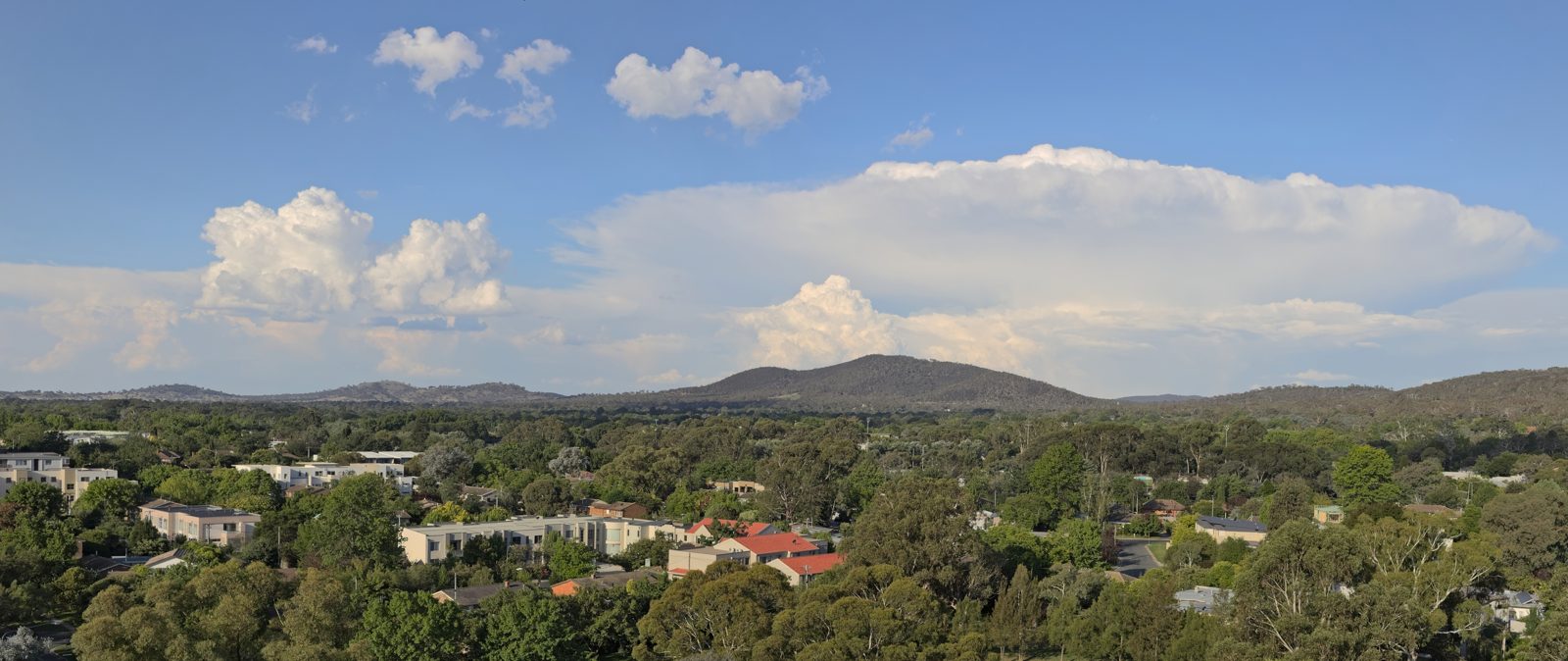
Longer term, the bureau outlook points to more rain. November to January should bring above-average rain to most of Australia. The far north and much of Tasmania are the exceptions.
November should also be warmer than usual in the south. Night temperatures should sit well above average in most areas. For now, though, the focus is Monday.
One more storm day stands between the east coast and calmer weather.
Related stories
Why Your Faucet Keeps Dripping After You Turn It Off
A dripping faucet is usually a worn washer, O-ring, or cartridge that can no longer seal. One drip per second wastes over 3,000 gallons

How to fix a running toilet without a plumber in 30 minutes
A running toilet can waste 200 gallons of water a day. Diagnose the flapper, float, or fill valve in two minutes, then fix it yourself

How to hang heavy shelves on drywall safely
Studs first, toggle bolts second, plastic anchors never for heavy loads. Weight ratings, installation steps, and mistakes that bring